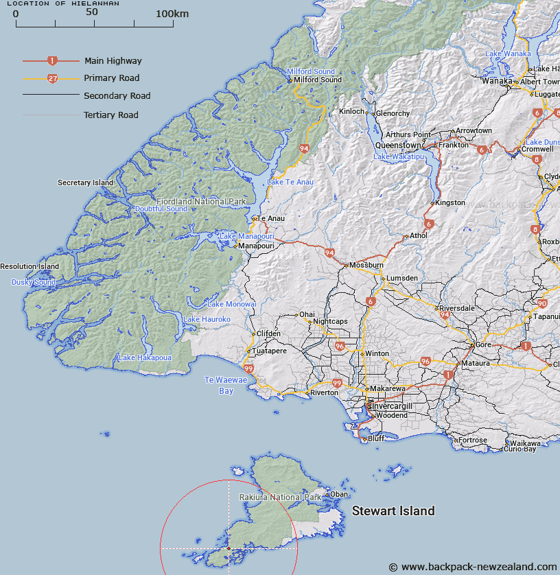
Map showing location of Hielanman


LINZ description: Northeasternmost peak of the Frazer Peaks, Stewart Island, 500m North-east of Magog. South Cape Survey District.
Latitude: -47.185861
Longitude: 167.57981
Northing: 4759914.3
Easting: 1189404.8
Land District: Southland
Feat Type: Hill


Scroll down to see a more detailed road map and below that a topographical map showing the location of Hielanman. The road map has been supplied by openstreetmap and the topographical map of Hielanman has been supplied by Land Information New Zealand (LINZ).

Yes you can use the top static map for you school/university project or personal website with a link back. Contact me for any commercial use.

Hielanman Map New Zealand


New Zealand places in our database
[ A ] [ B ] [ C ] [ D ] [ E ] [ F ] [ G ] [ H ] [ I ] [ J ] [ K ] [ L ] [ M ] [ N ] [ O ] [ P ] [ Q ] [ R ] [ S ] [ T ] [ U ] [ V ] [ W ] [ X ] [ Y ] [ Z ]


Closest 20 Hills to Hielanman

Fraser Peaks ( 1.21km )   Gog Peak ( 2.09km )   Bald Cone ( 4.27km )   Smiths Lookout ( 6.76km )   Granite Knob ( 18.01km )   Lees Knob ( 18.61km )   Mount Allen ( 19.96km )   Doughboy Hill ( 20.88km )   Adams Hill ( 22.37km )   Blaikies Hill ( 24.06km )   Table Hill ( 25.69km )   Traills Hill ( 28.49km )   Kirklands Hill ( 28.8km )   Walkers Hill ( 30.67km )   Big Sandhill ( 32.82km )   Mount Rakeahua ( 35.28km )   Lower Island Hill ( 35.32km )   Island Hill ( 35.32km )   Bald Hill ( 37.63km )   Adventure Hill ( 41.45km )   Pryse Peak ( 42.2km )   Upper Island Hill ( 43.36km )   Benson Peak ( 44.64km )   Rocky Mountain ( 45.81km )   Red Head Peak ( 48.68km )   The Paps ( 51.68km )   Observation Rock ( 51.95km )   Peterson Hill ( 52.63km )   Stony Hill ( 53.77km )   Magog Peak ( 53.92km )   Garden Mound ( 53.96km )   Little Mount Anglem ( 54.33km )   Mount Anglem ( 55.72km )   Mount Anglem/Hananui ( 55.72km )   The Bluff/Motup?hue ( 85.74km )   The Bluff ( 85.74km )   Flat Hill ( 86.3km )   Three Sisters ( 88.49km )   Ruahine Hill ( 92.72km )   Pahia Hill ( 96.37km )