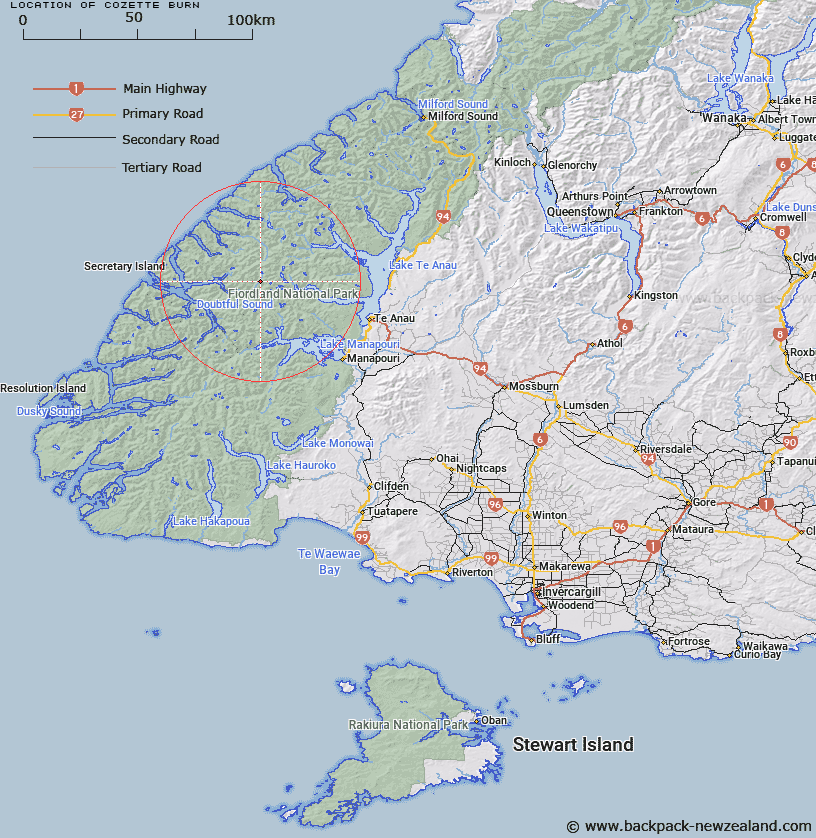
Map showing location of Cozette Burn


LINZ description: Rises near Coronation Peak and flows southerly into Camelot River. Esk Survey District.
Latitude: -45.274623
Longitude: 167.29731
Northing: 4970700
Easting: 1152700
Land District: Southland
Feat Type: Stream


Scroll down to see a more detailed road map and below that a topographical map showing the location of Cozette Burn. The road map has been supplied by openstreetmap and the topographical map of Cozette Burn has been supplied by Land Information New Zealand (LINZ).

Yes you can use the top static map for you school/university project or personal website with a link back. Contact me for any commercial use.

Cozette Burn Map New Zealand


New Zealand places in our database
[ A ] [ B ] [ C ] [ D ] [ E ] [ F ] [ G ] [ H ] [ I ] [ J ] [ K ] [ L ] [ M ] [ N ] [ O ] [ P ] [ Q ] [ R ] [ S ] [ T ] [ U ] [ V ] [ W ] [ X ] [ Y ] [ Z ]


Closest 20 Streams to Cozette Burn

Tuaraki Stream ( 2.74km )   Torre Stream ( 3.68km )   Adams Burn ( 4.35km )   Philipson Burn ( 5.73km )   Forster Burn ( 6.57km )   Misty River ( 7.32km )   Camelot River ( 7.49km )   Gorge Burn ( 8.38km )   Omaki Stream ( 8.62km )   Esk Burn ( 8.96km )   Elaine Stream ( 8.97km )   McKenzie Burn ( 9.12km )   Freeman Burn ( 9.87km )   Anehu Stream ( 10.22km )   Gilmour Burn ( 10.27km )   Wisely Burn ( 10.46km )   Rea River ( 11.35km )   Delta Burn ( 11.95km )   Stevens Burn ( 12.08km )   Windward River ( 13.39km )   Waterfall Creek ( 13.64km )   Toddy Burn ( 15.29km )   Chester Burn ( 15.72km )   Rum River ( 16.01km )   Jennings Burn ( 16.09km )   Wekawai Stream ( 17.78km )   Awe Burn ( 18.15km )   Tutu Burn ( 18.28km )   Junction Burn ( 18.31km )   Irene River ( 18.5km )   Woodrow Burn ( 18.53km )   Plateau Creek ( 18.62km )   Iris Burn ( 19.07km )   Elizabeth River ( 19.38km )   William Burn ( 19.42km )   Lyall Burn ( 20.39km )   Oonah Burn ( 21.69km )   Large Burn ( 21.8km )   Doon River ( 22.09km )   Sheerwall Creek ( 22.7km )