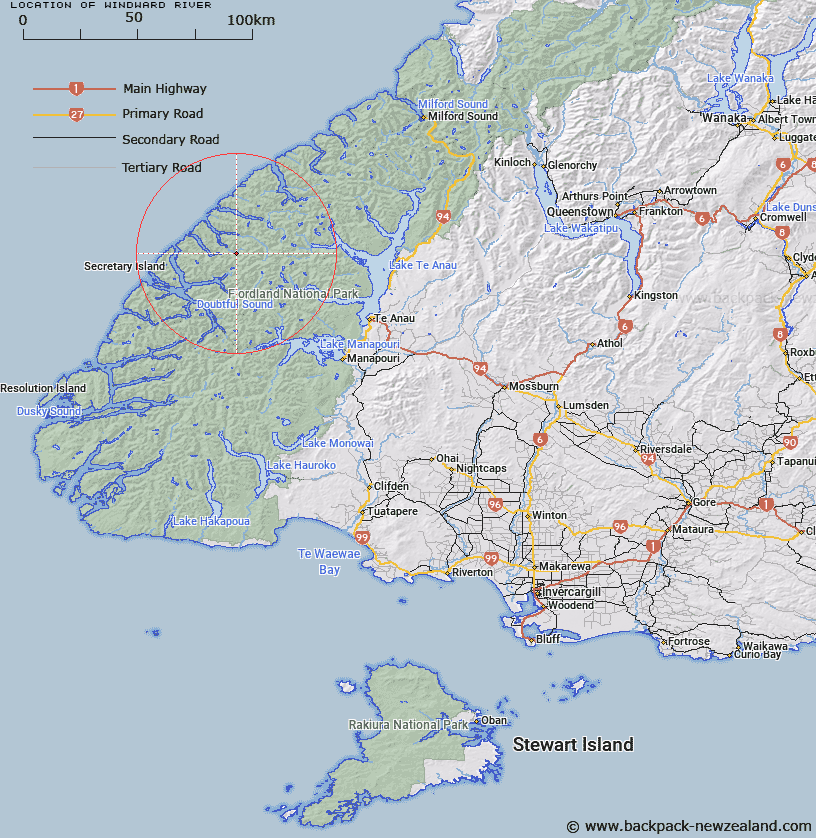
Map showing location of Windward River
LINZ description: River draining mountains to the West of Irene River and Double Peak, and North of Saddle Back and Key Peaks, and flowing generally north-westerly into the Gold arm of Charles Sound.
Latitude: -45.172709
Longitude: 167.206316
Northing: 4981510.9
Easting: 1144747.5
Land District: Southland
Feat Type: Stream
Latitude: -45.172709
Longitude: 167.206316
Northing: 4981510.9
Easting: 1144747.5
Land District: Southland
Feat Type: Stream

Scroll down to see a more detailed road map and below that a topographical map showing the location of Windward River. The road map has been supplied by openstreetmap and the topographical map of Windward River has been supplied by Land Information New Zealand (LINZ).
Yes you can use the top static map for you school/university project or personal website with a link back. Contact me for any commercial use.
[ A ] [ B ] [ C ] [ D ] [ E ] [ F ] [ G ] [ H ] [ I ] [ J ] [ K ] [ L ] [ M ] [ N ] [ O ] [ P ] [ Q ] [ R ] [ S ] [ T ] [ U ] [ V ] [ W ] [ X ] [ Y ] [ Z ]