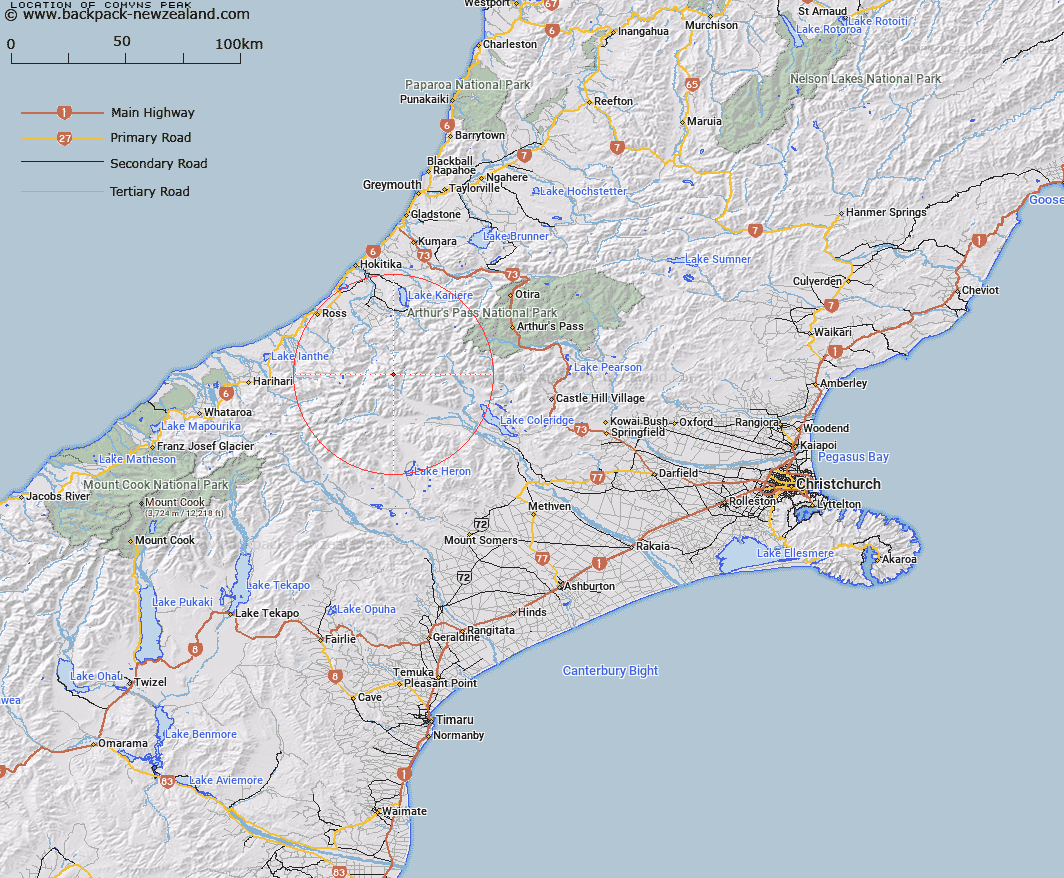
Map showing location of Comyns Peak


LINZ description: 2090m peak at the head of the West Mathias River on the Agassiz Range between Mt Marion and Urquhart Peak.
Latitude: -43.118818
Longitude: 171.108329
Northing: 5224253.8
Easting: 1446108.6
Land District: Canterbury
Feat Type: Hill


Scroll down to see a more detailed road map and below that a topographical map showing the location of Comyns Peak. The road map has been supplied by openstreetmap and the topographical map of Comyns Peak has been supplied by Land Information New Zealand (LINZ).

Yes you can use the top static map for you school/university project or personal website with a link back. Contact me for any commercial use.

Comyns Peak Map New Zealand


New Zealand places in our database
[ A ] [ B ] [ C ] [ D ] [ E ] [ F ] [ G ] [ H ] [ I ] [ J ] [ K ] [ L ] [ M ] [ N ] [ O ] [ P ] [ Q ] [ R ] [ S ] [ T ] [ U ] [ V ] [ W ] [ X ] [ Y ] [ Z ]


Closest 20 Hills to Comyns Peak

Mount Marion ( 0.89km )   Urquhart Peak ( 1.31km )   Mount Carl ( 1.9km )   Monarch Hill ( 1.98km )   Mount Frieda ( 2.49km )   Vincent Peak ( 2.76km )   Button Peak ( 3km )   Mount Young ( 3.29km )   Mount Split Open ( 3.65km )   Mount Tancred ( 3.83km )   Mount Tregear ( 4.47km )   Gerard Peak ( 4.55km )   Mount Tarleton ( 4.67km )   Little Hill ( 5.25km )   Mount Notman ( 5.75km )   Mount McWhirter ( 5.9km )   Mount Stout ( 6.27km )   Mount Meta ( 6.57km )   Mount Ballance ( 6.65km )   Mount Kensington ( 6.96km )   Mount Warner ( 7.03km )   Shafto Peak ( 7.35km )   Bonds Peak ( 7.8km )   Mount Harrison ( 7.97km )   Mount Collet ( 8.67km )   Mount Kai Iwi ( 8.67km )   Mount Bryce ( 8.69km )   Laws Peak ( 8.74km )   Mystery Peak ( 8.81km )   Hinge Peak ( 9.55km )   Observation Cone ( 9.71km )   Johanson Peak ( 10.16km )   Mount Neave ( 10.2km )   Cropp Knob ( 10.55km )   Mount Treadwell ( 10.85km )   Mistake Hill ( 10.86km )   Mount Inframeta ( 11.05km )   Mount Van Redan ( 11.12km )   Mungo Peak ( 11.35km )   Mount Ross ( 11.5km )