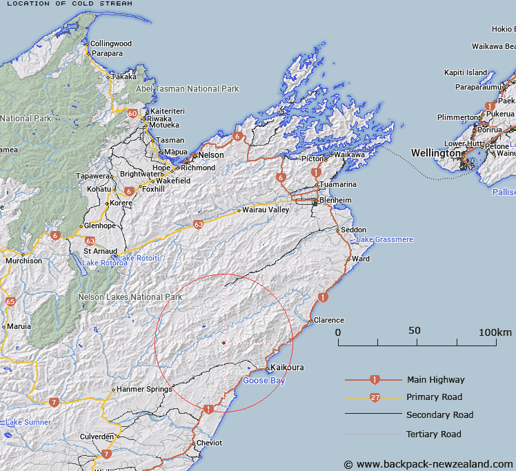
Map showing location of Cold Stream


LINZ description: A tributary meeting Seymour or Herring Stream at the confluence with Split Rock Stream.
Latitude: -42.271714
Longitude: 173.445346
Northing: 5319959
Easting: 1636725.2
Land District: Marlborough
Feat Type: Stream


Scroll down to see a more detailed road map and below that a topographical map showing the location of Cold Stream. The road map has been supplied by openstreetmap and the topographical map of Cold Stream has been supplied by Land Information New Zealand (LINZ).

Yes you can use the top static map for you school/university project or personal website with a link back. Contact me for any commercial use.

Cold Stream Map New Zealand


New Zealand places in our database
[ A ] [ B ] [ C ] [ D ] [ E ] [ F ] [ G ] [ H ] [ I ] [ J ] [ K ] [ L ] [ M ] [ N ] [ O ] [ P ] [ Q ] [ R ] [ S ] [ T ] [ U ] [ V ] [ W ] [ X ] [ Y ] [ Z ]


Closest 20 Streams to Cold Stream

Split Rock Stream ( 3.48km )   Seymour or Herring Stream ( 3.8km )   Black Rock Stream ( 3.94km )   Gregs Stream ( 4.36km )   Tytler Stream ( 5.7km )   The Fell ( 6.82km )   Limestone Stream ( 6.87km )   Rough Stream ( 8.3km )   Ward Stream ( 8.69km )   Snowflake Stream ( 9.18km )   Willows Stream ( 9.57km )   Tinkers Gully Stream ( 9.74km )   Lizard Stream ( 9.77km )   Kahutara River ( 10.03km )   Linton Creek ( 10.12km )   Cribb Creek ( 10.33km )   Alfred Stream ( 10.34km )   Orange Grove Creek ( 10.47km )   Rokomaiwhaea Creek ( 10.47km )   Shanty Gully Stream ( 10.54km )   Sawyers Creek ( 11.03km )   Nicholson Stream ( 11.31km )   Gore Stream ( 11.59km )   Middlehead Stream ( 11.83km )   St Bernard Stream ( 11.88km )   Spray Stream ( 11.98km )   Sandy Creek ( 12.22km )   Elliott Stream ( 12.39km )   Lacebark Stream ( 12.55km )   Little Linton Creek ( 12.67km )   Grasseed Stream ( 12.88km )   Two Mile Stream ( 13.19km )   Humbug Stream ( 13.22km )   Bellbird Stream ( 13.43km )   Ottley Stream ( 13.89km )   Goldmine Creek ( 13.94km )   Waiau Toa / Clarence River ( 13.99km )   Clarence River ( 13.99km )   Red Hill Stream ( 14.2km )   Packers Stream ( 14.53km )