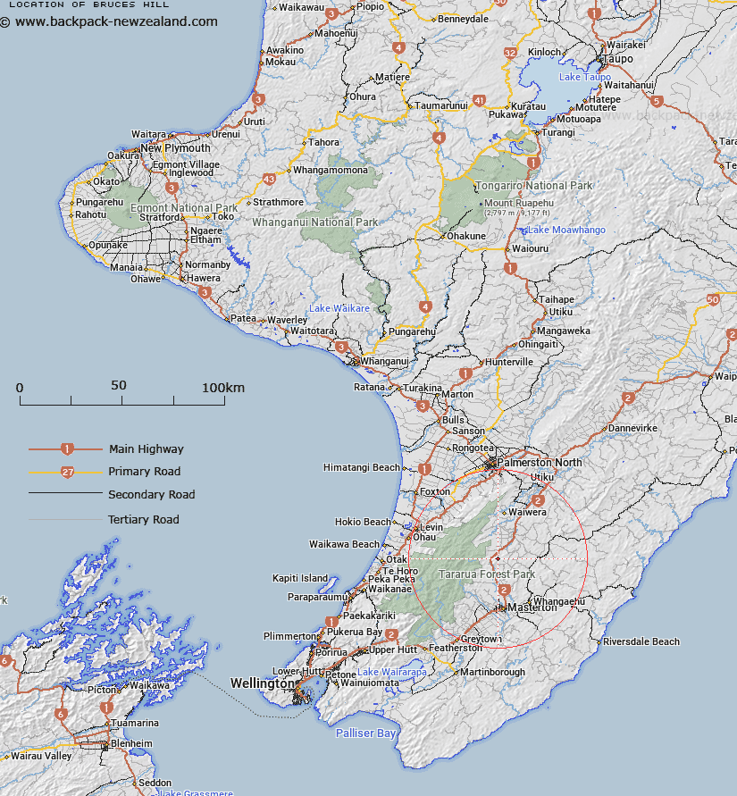
Map showing location of Bruces Hill
LINZ description: A hill at 710m approximately 12km southwest of Eketahuna in the middle of Pukaha / Mount Bruce Scenic Reserve. Feature shown on: NZMS260 T25 Edition 1 1978; NZTopo50-BN34 229862.
Latitude: -40.745
Longitude: 175.640278
Northing: 5486196.1
Easting: 1822916.8
Land District: Wellington
Feat Type: Hill
Latitude: -40.745
Longitude: 175.640278
Northing: 5486196.1
Easting: 1822916.8
Land District: Wellington
Feat Type: Hill

Scroll down to see a more detailed road map and below that a topographical map showing the location of Bruces Hill. The road map has been supplied by openstreetmap and the topographical map of Bruces Hill has been supplied by Land Information New Zealand (LINZ).
Yes you can use the top static map for you school/university project or personal website with a link back. Contact me for any commercial use.
[ A ] [ B ] [ C ] [ D ] [ E ] [ F ] [ G ] [ H ] [ I ] [ J ] [ K ] [ L ] [ M ] [ N ] [ O ] [ P ] [ Q ] [ R ] [ S ] [ T ] [ U ] [ V ] [ W ] [ X ] [ Y ] [ Z ]