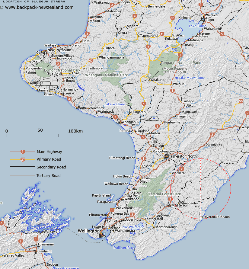
Map showing location of Bluegum Stream


LINZ description: Right bank tributary of Axehandle Stream rising 1km East South-east of Trig. W Mokai (Geodetic Code A409), flowing South-eastward and joining Axehandle Stream 1.5km North of Annedale Homestead. Block XV Puketoi Survey District.
Latitude: -40.745256
Longitude: 176.04845
Northing: 5485050
Easting: 1857382.1
Land District: Wellington
Feat Type: Stream


Scroll down to see a more detailed road map and below that a topographical map showing the location of Bluegum Stream. The road map has been supplied by openstreetmap and the topographical map of Bluegum Stream has been supplied by Land Information New Zealand (LINZ).

Yes you can use the top static map for you school/university project or personal website with a link back. Contact me for any commercial use.

Bluegum Stream Map New Zealand


New Zealand places in our database
[ A ] [ B ] [ C ] [ D ] [ E ] [ F ] [ G ] [ H ] [ I ] [ J ] [ K ] [ L ] [ M ] [ N ] [ O ] [ P ] [ Q ] [ R ] [ S ] [ T ] [ U ] [ V ] [ W ] [ X ] [ Y ] [ Z ]


Closest 20 Streams to Bluegum Stream

Bluegum Stream ( 0km )   Axehandle Stream ( 1.23km )   Annedale Stream ( 1.86km )   Woody Gully Stream ( 2.45km )   Ratanui Stream ( 3.26km )   Morepork Stream ( 3.73km )   Waipu Stream ( 3.89km )   Whareama River ( 4.68km )   Wingate Stream ( 6.75km )   Vee Stream ( 6.95km )   Waitawhiti Stream ( 7.87km )   North Branch Makirikiri Stream ( 8.16km )   Makirikiri Stream ( 8.26km )   Makorua Stream ( 9.07km )   Tauweru River ( 9.2km )   South Branch Makirikiri Stream ( 9.71km )   Takiritini Stream ( 9.75km )   Awatauira Stream ( 9.88km )   Wainuiomapu Stream ( 10.01km )   Centre Stream ( 10.5km )   Rewa Rewa Stream ( 10.97km )   Target Stream ( 11.4km )   Happy Creek ( 11.41km )   Mangamaire Stream ( 11.42km )   Tiraumea Stream ( 11.94km )   Pakupanga Stream ( 11.95km )   Flag Creek ( 12.72km )   Pakowhai River ( 12.77km )   Waiorutoki Stream ( 13.08km )   Motupaua Stream ( 13.38km )   Te Wakaaraho Stream ( 13.71km )   Te Hoe Stream ( 14.05km )   Waihoki Stream ( 14.4km )   Glenfalloch Stream ( 14.55km )   Whakarora Stream ( 14.6km )   Bute Stream ( 14.68km )   Tinui River ( 14.76km )   Pavitt Stream ( 14.85km )   Smoky Gully Stream ( 14.87km )   Mangapurupuru Stream ( 15km )