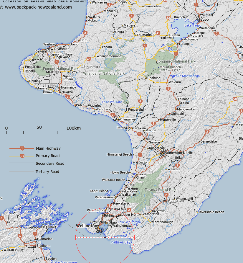
Map showing location of Baring Head/Ōrua-pouanui
LINZ description: Located along the south coast, east of Wellington, between Pencarrow Head and Turakirae Head, topographic map 260-R27,R28&Pt.Q27-Wellington, GR 663 759. On the cliff tops, at height 88m, are a lighthouse, a mast and a beaconed trig station (geodetic code B0Y6, named ‘Baring Head Light’).
Latitude: -41.406743
Longitude: 174.866829
Northing: 5414407.4
Easting: 1756037.6
Land District: Wellington
Feat Type: Point
Latitude: -41.406743
Longitude: 174.866829
Northing: 5414407.4
Easting: 1756037.6
Land District: Wellington
Feat Type: Point

Scroll down to see a more detailed road map and below that a topographical map showing the location of Baring Head/Ōrua-pouanui. The road map has been supplied by openstreetmap and the topographical map of Baring Head/Ōrua-pouanui has been supplied by Land Information New Zealand (LINZ).
Yes you can use the top static map for you school/university project or personal website with a link back. Contact me for any commercial use.
[ A ] [ B ] [ C ] [ D ] [ E ] [ F ] [ G ] [ H ] [ I ] [ J ] [ K ] [ L ] [ M ] [ N ] [ O ] [ P ] [ Q ] [ R ] [ S ] [ T ] [ U ] [ V ] [ W ] [ X ] [ Y ] [ Z ]