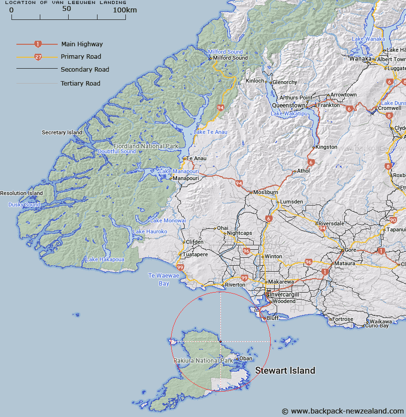
Map showing location of Van Leeuwen Landing


LINZ description: Small point located halfway between Trig. 18651 (Geodetic Code A02C) at Garden Point,and Rollers Beach, 500m North by North-west of the Trig. Stewart Island. Block 11 Anglem Survey District.
Latitude: -46.770312
Longitude: 168.000701
Northing: 4808212.5
Easting: 1218329.5
Land District: Southland
Feat Type: Site


Scroll down to see a more detailed road map and below that a topographical map showing the location of Van Leeuwen Landing. The road map has been supplied by openstreetmap and the topographical map of Van Leeuwen Landing has been supplied by Land Information New Zealand (LINZ).

Yes you can use the top static map for you school/university project or personal website with a link back. Contact me for any commercial use.

Van Leeuwen Landing Map New Zealand


New Zealand places in our database
[ A ] [ B ] [ C ] [ D ] [ E ] [ F ] [ G ] [ H ] [ I ] [ J ] [ K ] [ L ] [ M ] [ N ] [ O ] [ P ] [ Q ] [ R ] [ S ] [ T ] [ U ] [ V ] [ W ] [ X ] [ Y ] [ Z ]


Closest 20 Sites to Van Leeuwen Landing

Wohlers Monument ( 18.85km )   Gabriel Read Monument ( 161.57km )   Miners monument ( 183.59km )   Ross Corner ( 217.13km )   The Monument ( 220.09km )   Sir John McKenzie Monument ( 253.99km )   Sergeant Garveys Cairn ( 277.07km )   Clarks Flour Mill ( 283.86km )   Brydone Monument ( 288.52km )   45th Parallel marker ( 307.51km )   Colliers Corner ( 338.13km )   Creamery Corner ( 348.69km )   Mackenzie Memorial ( 349.89km )   Midgleys Corner ( 353.2km )   Kennedy Memorial ( 355.98km )   Burkes Memorial ( 360.42km )   Arowhenua Pa ( 377.72km )   Kakahu Lime Kiln ( 377.9km )   Milford Factory Corner ( 382.58km )   Ewarts Corner ( 383.03km )   Domain Corner ( 384.52km )   Butlers 'V' Hut ( 405.74km )   Doctor Sinclairs Grave ( 416.91km )   Buxton Kilns ( 432.38km )   Icefall Lookout ( 438.56km )   Icefall Outlook ( 438.56km )   Hakatere Marae ( 438.94km )   Cotons Cottage ( 474.41km )   Oruaka Pa ( 493.27km )   Clough Memorial ( 498.97km )   Pamperos Cairn ( 500.31km )   Onawe Pa sieged in 1832 ( 508.25km )   Onawe Pa ( 509.55km )   Fort Jervois ( 511.18km )   Dobson Memorial ( 512.53km )   Deaths Corner ( 514.56km )   Whitcombe plaque ( 528.06km )   Hochstetter Historic Site ( 558.52km )   Engineers Camp ( 580.49km )   Thomas Brunner Memorial ( 640.63km )