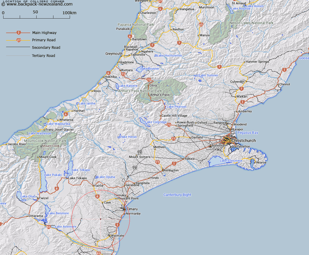
Map showing location of Colliers Corner


LINZ description: Corner at the intersection of Black Line Road and Colliers Road near Otaio Gorge.
Latitude: -44.520168
Longitude: 170.927372
Northing: 5068261.2
Easting: 1435286.9
Land District: Canterbury
Feat Type: Site


Scroll down to see a more detailed road map and below that a topographical map showing the location of Colliers Corner. The road map has been supplied by openstreetmap and the topographical map of Colliers Corner has been supplied by Land Information New Zealand (LINZ).

Yes you can use the top static map for you school/university project or personal website with a link back. Contact me for any commercial use.

Colliers Corner Map New Zealand


New Zealand places in our database
[ A ] [ B ] [ C ] [ D ] [ E ] [ F ] [ G ] [ H ] [ I ] [ J ] [ K ] [ L ] [ M ] [ N ] [ O ] [ P ] [ Q ] [ R ] [ S ] [ T ] [ U ] [ V ] [ W ] [ X ] [ Y ] [ Z ]


Closest 20 Sites to Colliers Corner

Creamery Corner ( 16.1km )   Midgleys Corner ( 18.56km )   Arowhenua Pa ( 39.6km )   Kakahu Lime Kiln ( 42.98km )   Milford Factory Corner ( 44.69km )   Mackenzie Memorial ( 45.54km )   45th Parallel marker ( 54.18km )   Burkes Memorial ( 54.31km )   Ewarts Corner ( 61.13km )   Domain Corner ( 62.65km )   Sergeant Garveys Cairn ( 63.64km )   Brydone Monument ( 67.45km )   Clarks Flour Mill ( 71.11km )   Butlers 'V' Hut ( 88.09km )   Doctor Sinclairs Grave ( 98.86km )   Buxton Kilns ( 98.92km )   Hakatere Marae ( 100.9km )   Kennedy Memorial ( 103.76km )   Sir John McKenzie Monument ( 109.01km )   Icefall Outlook ( 135.6km )   Icefall Lookout ( 135.6km )   Cotons Cottage ( 136.47km )   The Monument ( 154.53km )   Ross Corner ( 155.94km )   Miners monument ( 161.09km )   Oruaka Pa ( 162.31km )   Clough Memorial ( 176.9km )   Fort Jervois ( 177km )   Onawe Pa sieged in 1832 ( 177.54km )   Pamperos Cairn ( 177.68km )   Onawe Pa ( 179.95km )   Gabriel Read Monument ( 181.34km )   Dobson Memorial ( 186.13km )   Deaths Corner ( 188.31km )   Whitcombe plaque ( 217.38km )   Hochstetter Historic Site ( 235.76km )   Engineers Camp ( 245.93km )   Thomas Brunner Memorial ( 316.08km )   Nga Niho Pa ( 322.74km )   Van Leeuwen Landing ( 338.13km )