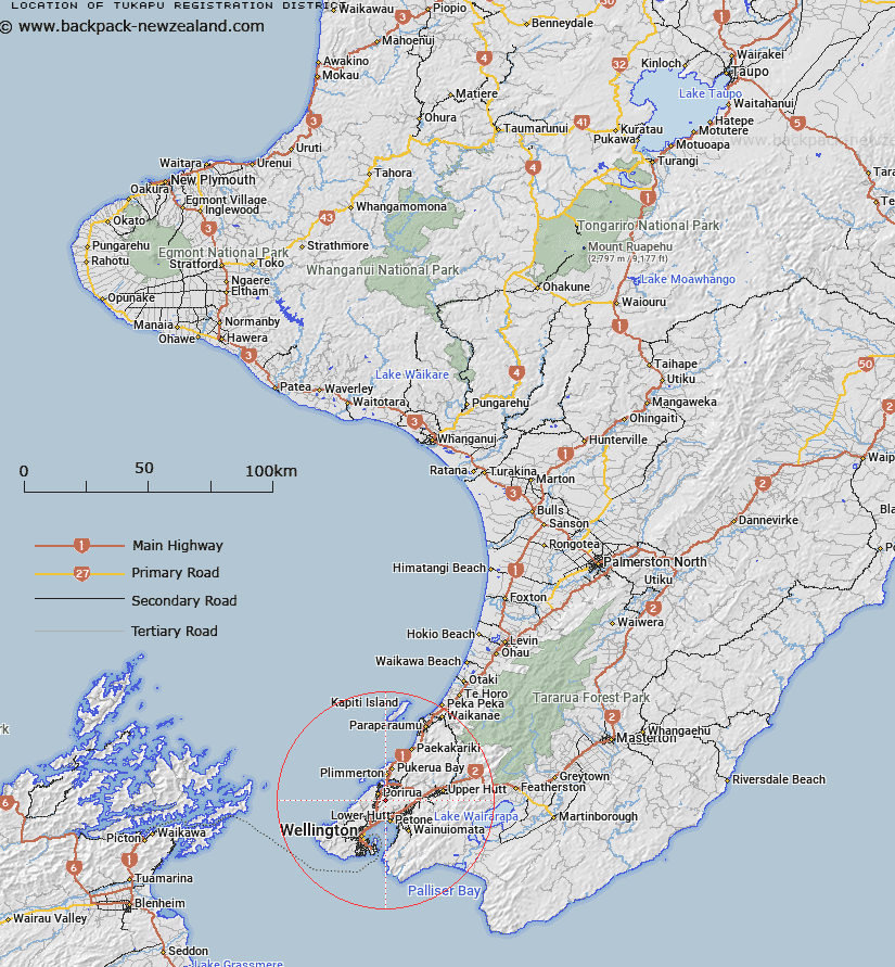
Map showing location of Tukapu Registration District


LINZ description: Land Registration District encompassing area around Takapu Stream, West of Tawa. Land as shown on Wellington SO 10983 (Roll Plan 321). Belmont Survey District.
Latitude: -41.156747
Longitude: 174.861824
Northing: 5442171.6
Easting: 1756214.4
Land District: Wellington
Feat Type: Appellation


Scroll down to see a more detailed road map and below that a topographical map showing the location of Tukapu Registration District. The road map has been supplied by openstreetmap and the topographical map of Tukapu Registration District has been supplied by Land Information New Zealand (LINZ).

Yes you can use the top static map for you school/university project or personal website with a link back. Contact me for any commercial use.

Tukapu Registration District Map New Zealand


New Zealand places in our database
[ A ] [ B ] [ C ] [ D ] [ E ] [ F ] [ G ] [ H ] [ I ] [ J ] [ K ] [ L ] [ M ] [ N ] [ O ] [ P ] [ Q ] [ R ] [ S ] [ T ] [ U ] [ V ] [ W ] [ X ] [ Y ] [ Z ]


Closest 20 Appellations to Tukapu Registration District

Ohariu ( 13.15km )   Whatarangi Block ( 46.42km )   Waitarangi Block ( 46.42km )   Waitetuna Block ( 59.76km )   Waitutuma Block ( 59.76km )   Okurupatu Block ( 78.04km )   Okurupeti ( 78.04km )   Maungaraki Block ( 80.54km )   Maungarake Block ( 80.54km )   Parimu Settlement ( 83.39km )   Paramu Settlement ( 83.39km )   Eperaima Block ( 97.83km )   Eparaima Block ( 97.83km )   Wangamoa ( 99.19km )   Whangamoa Survey District ( 99.19km )   Te Kauwau ( 101.2km )   Te Kawau Survey District ( 101.2km )   Parewanui Maori Block ( 109.61km )   Tokomaru Maori Block ( 154.48km )   Tokamaru Maori Block ( 154.48km )   Otautu Maori Block ( 164.2km )   Otauto Maori Block ( 164.2km )   Maharakeke Settlement ( 183.66km )   Marakeke ( 183.66km )   Kauranaki Crown Grant District ( 227.34km )   Kahuranaki Crown Grant District ( 227.34km )   Paipaitahi ( 242.71km )   Paepaetahi ( 242.71km )   Hawke's Bay Land District ( 253.4km )   Aropaoanui Block ( 274.87km )   Arapaoanoi Block ( 274.87km )   Pohaturoa ( 281.21km )   Pohaturoha ( 281.21km )   Waowaototara Block ( 282.31km )   Awa-o-totara Block ( 282.31km )   Mangapehi ( 296.6km )   Poututu Rural Sections ( 312.78km )   Tuwatawata ( 313.49km )   Tuawatawata ( 313.49km )   Tuatawhata ( 313.49km )