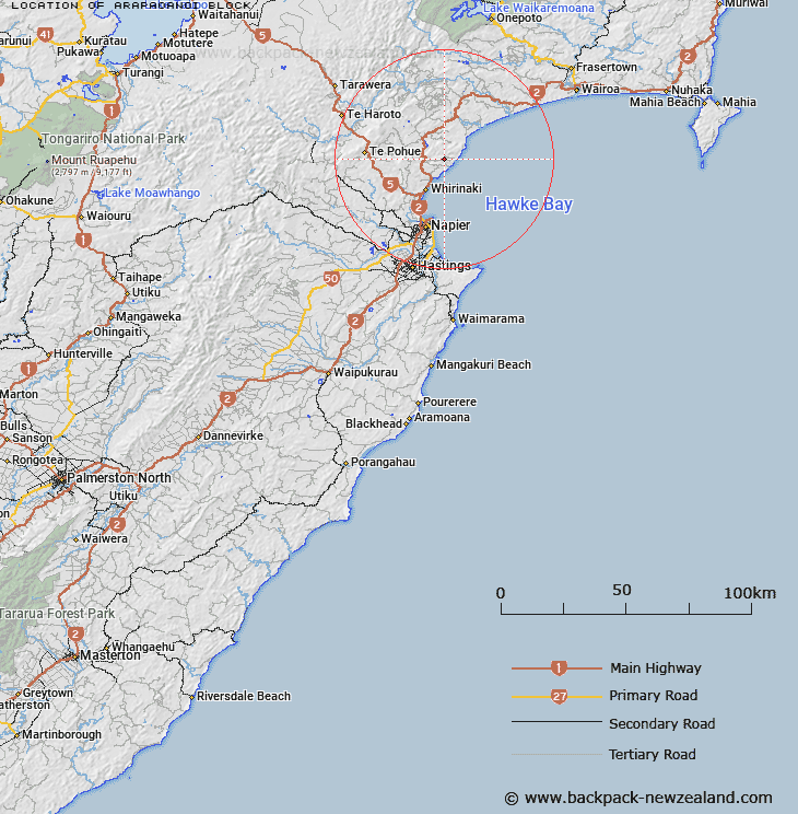
Map showing location of Arapaoanoi Block


LINZ description: Maori Block generally between the Arapaonui River and the Waipatiki Stream as shown on Hawkes Bay ML 1143. Maungaharuru & Moeangiangi Survey Districts.
Latitude: -39.274533
Longitude: 176.960733
Northing: 5645274.5
Easting: 1941692
Land District: Hawke's Bay
Feat Type: Appellation


Scroll down to see a more detailed road map and below that a topographical map showing the location of Arapaoanoi Block. The road map has been supplied by openstreetmap and the topographical map of Arapaoanoi Block has been supplied by Land Information New Zealand (LINZ).

Yes you can use the top static map for you school/university project or personal website with a link back. Contact me for any commercial use.

Arapaoanoi Block Map New Zealand


New Zealand places in our database
[ A ] [ B ] [ C ] [ D ] [ E ] [ F ] [ G ] [ H ] [ I ] [ J ] [ K ] [ L ] [ M ] [ N ] [ O ] [ P ] [ Q ] [ R ] [ S ] [ T ] [ U ] [ V ] [ W ] [ X ] [ Y ] [ Z ]


Closest 20 Appellations to Arapaoanoi Block

Awa-o-totara Block ( 15.75km )   Waowaototara Block ( 15.75km )   Hawke's Bay Land District ( 22.66km )   Paipaitahi ( 33.93km )   Paepaetahi ( 33.93km )   Poututu Rural Sections ( 38.59km )   Huramua Block ( 46.5km )   Hauruma Block ( 46.5km )   Tarapatiki Maori Block ( 49.46km )   Terapatiki Maori Block ( 49.46km )   Kauranaki Crown Grant District ( 57.43km )   Kahuranaki Crown Grant District ( 57.43km )   Tuawatawata ( 57.8km )   Tuatawhata ( 57.8km )   Tuwatawata ( 57.8km )   Matakuia Block ( 61.04km )   Matakuhia Block ( 61.04km )   Wheao Survey District ( 84.72km )   Weao ( 84.72km )   Tarewauru Block ( 90.01km )   Tarewaeru ( 90.01km )   Tiro-o-Tane ( 92.16km )   Tiraotane Block ( 92.16km )   Maharakeke Settlement ( 94.23km )   Marakeke ( 94.23km )   Te Hahaenga Block ( 104.69km )   Te Hahainga ( 104.69km )   Poukokonga Block ( 104.72km )   Pokokonga ( 104.72km )   Oriwha ( 112.26km )   Orewha ( 112.26km )   Whakapaupakahi ( 119.78km )   Whakapaupakihi ( 119.78km )   Waiotahi Parish ( 140.09km )   Waiotahe Parish ( 140.09km )   Waioeka Parish ( 140.44km )   Tutamoi Block ( 144.09km )   Tutamoe Block ( 144.09km )   Ngatira ( 147.04km )   Ngatiira ( 147.04km )