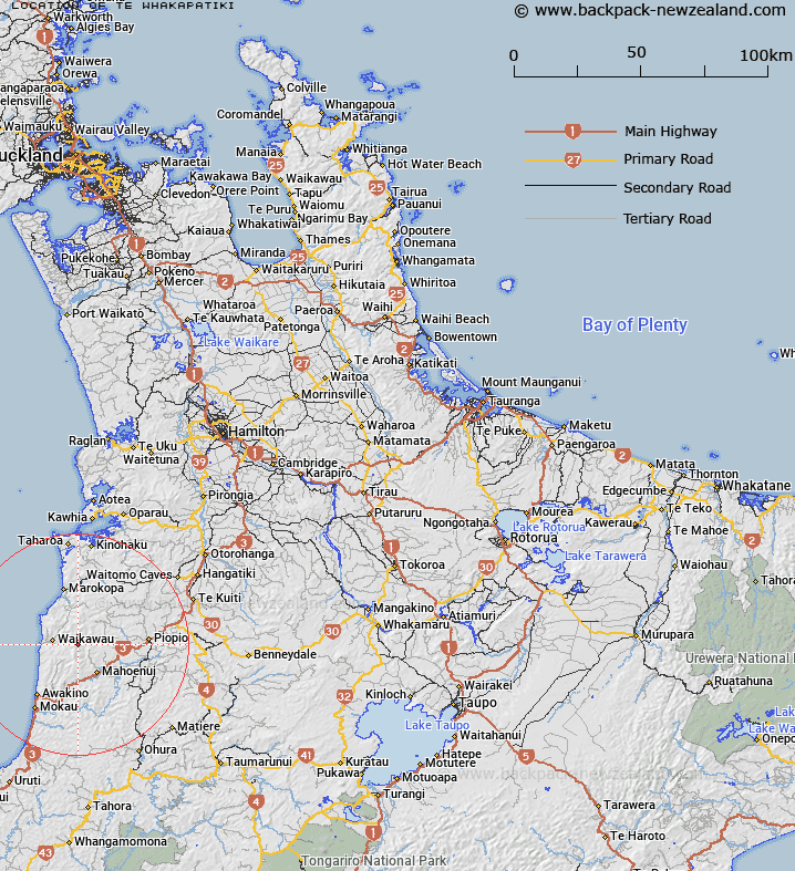
Map showing location of Te Whakapatiki
LINZ description: Hill on the Herangi Range, at the source of Te Whakapatiki Stream, a tributary of the Awakino River. 2.5km South South-west of Maungatewharau [Trig. III (Geodetic Code A8LV)]. Block XIII Maungamangero Survey District
Latitude: -38.484895
Longitude: 174.768627
Northing: 5738900.8
Easting: 1754258.3
Land District: South Auckland
Feat Type: Hill
Latitude: -38.484895
Longitude: 174.768627
Northing: 5738900.8
Easting: 1754258.3
Land District: South Auckland
Feat Type: Hill

Scroll down to see a more detailed road map and below that a topographical map showing the location of Te Whakapatiki. The road map has been supplied by openstreetmap and the topographical map of Te Whakapatiki has been supplied by Land Information New Zealand (LINZ).
Yes you can use the top static map for you school/university project or personal website with a link back. Contact me for any commercial use.
[ A ] [ B ] [ C ] [ D ] [ E ] [ F ] [ G ] [ H ] [ I ] [ J ] [ K ] [ L ] [ M ] [ N ] [ O ] [ P ] [ Q ] [ R ] [ S ] [ T ] [ U ] [ V ] [ W ] [ X ] [ Y ] [ Z ]