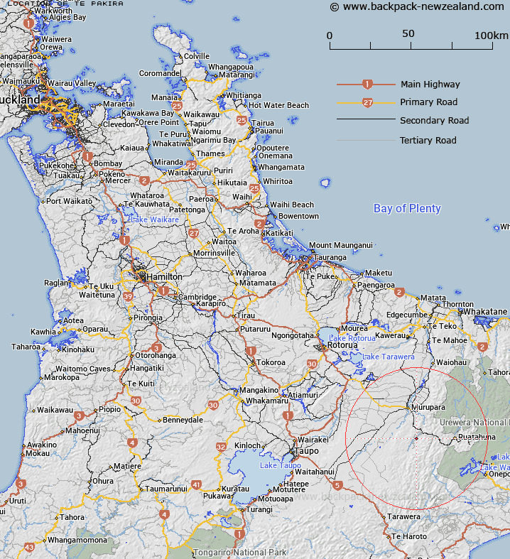
Map showing location of Te Pakira
LINZ description: Hill 431m (site of trig. Station B1QN) between the Whirinaki River and Whataroa Stream, approximately 6 kilometres south-west of Te Whati
Latitude: -38.616779
Longitude: 176.749677
Northing: 5719075.6
Easting: 1926487.2
Land District: South Auckland
Feat Type: Hill
Latitude: -38.616779
Longitude: 176.749677
Northing: 5719075.6
Easting: 1926487.2
Land District: South Auckland
Feat Type: Hill

Scroll down to see a more detailed road map and below that a topographical map showing the location of Te Pakira. The road map has been supplied by openstreetmap and the topographical map of Te Pakira has been supplied by Land Information New Zealand (LINZ).
Yes you can use the top static map for you school/university project or personal website with a link back. Contact me for any commercial use.
[ A ] [ B ] [ C ] [ D ] [ E ] [ F ] [ G ] [ H ] [ I ] [ J ] [ K ] [ L ] [ M ] [ N ] [ O ] [ P ] [ Q ] [ R ] [ S ] [ T ] [ U ] [ V ] [ W ] [ X ] [ Y ] [ Z ]