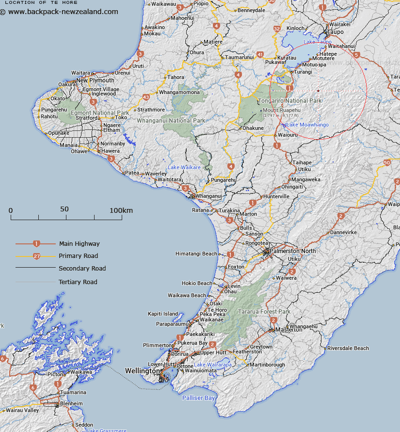
Map showing location of Te More


LINZ description: High point in Kaimanawa State Forest south east of Ignimbrite Saddle.
Latitude: -39.129226
Longitude: 176.017327
Northing: 5664546.6
Easting: 1860824.5
Land District: Wellington
Feat Type: Hill


Scroll down to see a more detailed road map and below that a topographical map showing the location of Te More. The road map has been supplied by openstreetmap and the topographical map of Te More has been supplied by Land Information New Zealand (LINZ).

Yes you can use the top static map for you school/university project or personal website with a link back. Contact me for any commercial use.

Te More Map New Zealand


New Zealand places in our database
[ A ] [ B ] [ C ] [ D ] [ E ] [ F ] [ G ] [ H ] [ I ] [ J ] [ K ] [ L ] [ M ] [ N ] [ O ] [ P ] [ Q ] [ R ] [ S ] [ T ] [ U ] [ V ] [ W ] [ X ] [ Y ] [ Z ]


Closest 20 Hills to Te More

Junction Top ( 2.98km )   Te Raketuangiangi ( 3.15km )   Te Wetenga ( 3.16km )   Te Kohatuakaiuru ( 3.25km )   Makorako ( 3.85km )   Ngapukeahuanga ( 4.44km )   Ngapuketurua ( 5.86km )   Waingakia ( 6.03km )   Ruatahuna ( 6.28km )   Mount Dowding ( 6.69km )   Mount Dowden ( 6.69km )   Toatoa a Tamakaitangi ( 7.96km )   Te Piri ( 8.22km )   Manawaruruku ( 8.47km )   Pikiawatea ( 9.2km )   Umukarikari ( 9.81km )   Sharp Cone ( 10.77km )   Makokomiko ( 11.09km )   Te Apunga ( 11.32km )   Whakamarumaru ( 11.64km )   Pukekotare ( 11.76km )   Motutere ( 11.78km )   Tara o te Marama ( 12.17km )   Tapuiomaruahine ( 12.55km )   Pukehuia ( 13.36km )   Ahipaepae ( 13.97km )   Oheikura ( 14.02km )   Motiti ( 14.02km )   Papapohatu ( 14.06km )   Horehore ( 14.13km )   Kopuawhio ( 14.17km )   Karikaringa ( 14.25km )   Maungaorangi ( 14.55km )   Tutu Peak ( 14.67km )   Prominent Cone ( 14.71km )   Te Kaitetara ( 15.1km )   Pukekokaho ( 15.72km )   Urchin ( 15.74km )   Wakaari ( 16.82km )   Paemahi ( 16.86km )