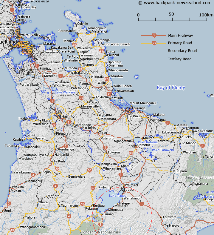
Map showing location of Pukehuia


LINZ description: High point in Kaimanawa State Forest in the headwaters of the Tauranga Taupo River and the Tiraki Stream.
Latitude: -39.016337
Longitude: 176.070342
Northing: 5676924
Easting: 1865831.8
Land District: South Auckland
Feat Type: Hill


Scroll down to see a more detailed road map and below that a topographical map showing the location of Pukehuia. The road map has been supplied by openstreetmap and the topographical map of Pukehuia has been supplied by Land Information New Zealand (LINZ).

Yes you can use the top static map for you school/university project or personal website with a link back. Contact me for any commercial use.

Pukehuia Map New Zealand


New Zealand places in our database
[ A ] [ B ] [ C ] [ D ] [ E ] [ F ] [ G ] [ H ] [ I ] [ J ] [ K ] [ L ] [ M ] [ N ] [ O ] [ P ] [ Q ] [ R ] [ S ] [ T ] [ U ] [ V ] [ W ] [ X ] [ Y ] [ Z ]


Closest 20 Hills to Pukehuia

Ahipaepae ( 3.42km )   Pukekokaho ( 4.78km )   Ngapuketurua ( 7.59km )   Whangatikitiki ( 8.65km )   Pikiawatea ( 9.45km )   Te Kohatuakaiuru ( 10.27km )   Maungaorangi ( 11.22km )   Mount Dowding ( 11.86km )   Mount Dowden ( 11.86km )   Manawaruruku ( 12.33km )   Te Iringa ( 12.51km )   Ngapukeahuanga ( 12.78km )   Motiti ( 12.88km )   Te More ( 13.36km )   Waingakia ( 13.65km )   Maungatera ( 13.94km )   Paemahi ( 14.24km )   Pukekotare ( 14.28km )   Toatoa a Tamakaitangi ( 14.52km )   Ruatahuna ( 14.63km )   Junction Top ( 14.67km )   Te Wetenga ( 14.81km )   Rouiti ( 15.02km )   Te Raketuangiangi ( 15.28km )   Papapohatu ( 15.61km )   Makorako ( 15.79km )   Tapuiomaruahine ( 16.47km )   Opitoturi ( 17.64km )   Manawakarau ( 17.69km )   Te Piri ( 18.06km )   Makokomiko ( 18.38km )   Hatepe Hill ( 18.46km )   Te Kaitetara ( 18.9km )   Horehore ( 18.95km )   Umukarikari ( 19.35km )   Oheikura ( 19.78km )   Sharp Cone ( 20.2km )   Kopuawhio ( 20.45km )   Motuoapa ( 20.85km )   Wairango ( 21.65km )