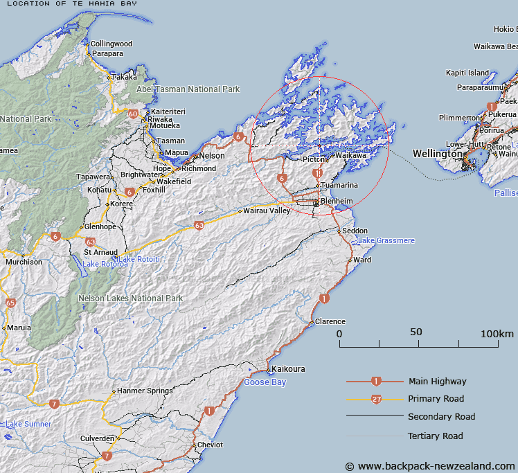
Map showing location of Te Mahia Bay


LINZ description: Small bay on the south side of Kenepuru Sound located between Island point to the east and Broughton Bay to the west.
Latitude: -41.215179
Longitude: 173.972229
Northing: 5436900
Easting: 1681500
Land District: Marlborough
Feat Type: Bay


Scroll down to see a more detailed road map and below that a topographical map showing the location of Te Mahia Bay. The road map has been supplied by openstreetmap and the topographical map of Te Mahia Bay has been supplied by Land Information New Zealand (LINZ).

Yes you can use the top static map for you school/university project or personal website with a link back. Contact me for any commercial use.

Te Mahia Bay Map New Zealand


New Zealand places in our database
[ A ] [ B ] [ C ] [ D ] [ E ] [ F ] [ G ] [ H ] [ I ] [ J ] [ K ] [ L ] [ M ] [ N ] [ O ] [ P ] [ Q ] [ R ] [ S ] [ T ] [ U ] [ V ] [ W ] [ X ] [ Y ] [ Z ]


Closest 20 Bays to Te Mahia Bay

Te Mahia Bay ( 0km )   Mistletoe Bay ( 1.25km )   Waterfall Bay ( 1.55km )   Kenepuru Sound ( 1.66km )   Fence Bay ( 1.71km )   West Bay ( 1.9km )   Onahau Bay ( 2.72km )   Broughton Bay ( 2.76km )   East Bay ( 2.77km )   Gold Reef Bay ( 3.14km )   Lochmara Bay ( 3.26km )   Dartmoor Bay ( 3.55km )   Pukatea Bay ( 3.56km )   Puketea Bay ( 3.56km )   Saint Omer Bay ( 3.61km )   Christys Bay ( 3.68km )   Double Cove ( 3.92km )   Mills Bay ( 3.94km )   Double Bay ( 4.05km )   Te Matau a Maui Bay ( 4.24km )   Bottle Bay ( 4.46km )   Ohinetaha Bay ( 4.8km )   Portage Bay ( 4.87km )   Torea Bay (Torea Moua) ( 4.98km )   Take in Bay ( 5.06km )   Umungata Bay ( 5.13km )   Grove Arm ( 5.36km )   Goulter Bay ( 5.55km )   Governors Bay ( 5.76km )   Whenuanui or Becks Bay ( 5.84km )   Ngakuta Bay ( 6.14km )   Kaipakirikiri Bay ( 6.35km )   Momorangi Bay ( 6.55km )   Titoki Bay ( 6.67km )   Mahau Sound ( 7.3km )   Aussie Bay ( 7.3km )   Shakespeare Bay ( 7.31km )   Waitaria Bay ( 7.61km )   Picton Harbour ( 7.69km )   Kumutoto Bay ( 7.79km )