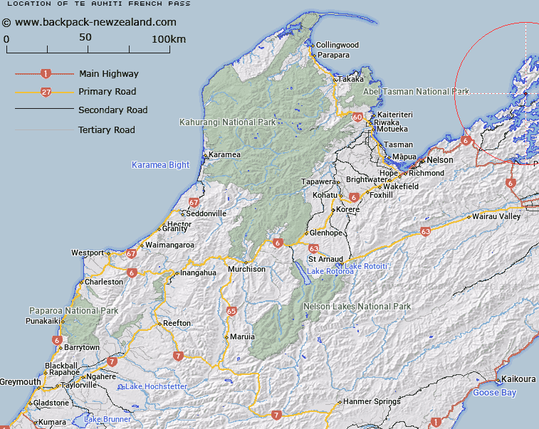
Map showing location of Te Aumiti (French Pass)


LINZ description: A strait between Rangitoto ki te Tonga / D’Urville Island and Te Waipounamu, northeast of Current Basin approximately 1 km northeast of French Pass (Anaru) (locality). Feature shown on Infomap 346-02 Te Wai Pounamu Edition 1 1995; NZTopo50-BP28 703695
Latitude: -40.922166
Longitude: 173.834245
Northing: 5469548.2
Easting: 1670244.1
Land District: Nelson
Feat Type: Channel


Scroll down to see a more detailed road map and below that a topographical map showing the location of Te Aumiti (French Pass). The road map has been supplied by openstreetmap and the topographical map of Te Aumiti (French Pass) has been supplied by Land Information New Zealand (LINZ).

Yes you can use the top static map for you school/university project or personal website with a link back. Contact me for any commercial use.

Te Aumiti (French Pass) Map New Zealand


New Zealand places in our database
[ A ] [ B ] [ C ] [ D ] [ E ] [ F ] [ G ] [ H ] [ I ] [ J ] [ K ] [ L ] [ M ] [ N ] [ O ] [ P ] [ Q ] [ R ] [ S ] [ T ] [ U ] [ V ] [ W ] [ X ] [ Y ] [ Z ]


Closest 20 Channels to Te Aumiti (French Pass)

Fishermans Passage ( 0.24km )   Current Basin ( 2.55km )   Apuau Channel ( 11.17km )   Wait?t? Reach ( 12.32km )   Tawhitinui Reach ( 13.51km )   Te Kakaho Channel ( 17.36km )   Worlds End ( 20km )   Rangitoto Roads ( 20.53km )   Allen Strait (Guards Pass) ( 20.94km )   Stephens Passage ( 28.37km )   Hikapu Reach ( 30.81km )   Patten Passage ( 45.59km )   Tory Channel / Kura Te Au ( 48.1km )   Tory Channel ( 48.1km )   Cook Strait ( 64.67km )   Blind Channel ( 66.07km )   Rauoterangi Channel ( 93.81km )   Chaffers Passage ( 95.85km )   Narrows ( 360.49km )   Te Kauangaomanaia (The Narrows) ( 363.77km )   Tilby Channel ( 413.27km )   Town Reach ( 413.38km )   Otumoetai Channel ( 414.03km )   Ot?moetai Channel ( 414.03km )   Western Channel ( 414.75km )   Stella Passage ( 414.82km )   Maunganui Roads ( 416.51km )   Cutter Channel ( 416.77km )   Tauranga Entrance ( 417.02km )   The Needles ( 419.21km )   Blakneys Channel ( 423.36km )   Tuapiro Channel ( 423.97km )   Katikati Entrance ( 426.76km )   Manukau Entrance ( 435.69km )   Waiuku Channel ( 436.81km )   Papakura Channel ( 439.46km )   Purakau Channel ( 441.17km )   Wairopa Channel ( 442.78km )   The Gap ( 443.63km )   Sandspit Passage ( 462.01km )