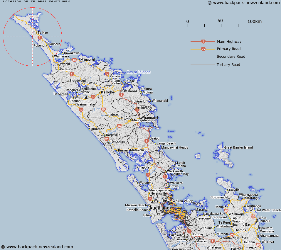
Map showing location of Te Arai Sanctuary
LINZ description: State Forest, Sec 1 Blk III HOUHORA WEST SURVEY DISTRICT
Latitude: -34.699298
Longitude: 172.921384
Northing: 6160300
Easting: 1592800
Land District: North Auckland
Feat Type: Sanctuary Area
Latitude: -34.699298
Longitude: 172.921384
Northing: 6160300
Easting: 1592800
Land District: North Auckland
Feat Type: Sanctuary Area

Scroll down to see a more detailed road map and below that a topographical map showing the location of Te Arai Sanctuary. The road map has been supplied by openstreetmap and the topographical map of Te Arai Sanctuary has been supplied by Land Information New Zealand (LINZ).
Yes you can use the top static map for you school/university project or personal website with a link back. Contact me for any commercial use.
[ A ] [ B ] [ C ] [ D ] [ E ] [ F ] [ G ] [ H ] [ I ] [ J ] [ K ] [ L ] [ M ] [ N ] [ O ] [ P ] [ Q ] [ R ] [ S ] [ T ] [ U ] [ V ] [ W ] [ X ] [ Y ] [ Z ]