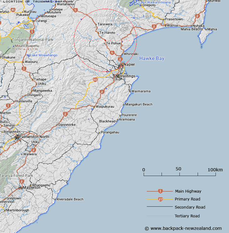
Map showing location of Tauwhare Papauma


LINZ description: An historic site at spot height 762 m on Te Waka Range. NZTopo50-BJ38 182532.
Latitude: -39.212097
Longitude: 176.685236
Northing: 5653212
Easting: 1918200.6
Land District: Hawke's Bay
Feat Type: Site


Scroll down to see a more detailed road map and below that a topographical map showing the location of Tauwhare Papauma. The road map has been supplied by openstreetmap and the topographical map of Tauwhare Papauma has been supplied by Land Information New Zealand (LINZ).

Yes you can use the top static map for you school/university project or personal website with a link back. Contact me for any commercial use.

Tauwhare Papauma Map New Zealand


New Zealand places in our database
[ A ] [ B ] [ C ] [ D ] [ E ] [ F ] [ G ] [ H ] [ I ] [ J ] [ K ] [ L ] [ M ] [ N ] [ O ] [ P ] [ Q ] [ R ] [ S ] [ T ] [ U ] [ V ] [ W ] [ X ] [ Y ] [ Z ]


Closest 20 Sites to Tauwhare Papauma

Motu-o-R?r? ( 8.59km )   Tupurupuru Pa ( 14.24km )   Rangi?taahua ( 22.76km )   Te Rae-o-Tangoio ( 24.21km )   Panepaoa ( 24.79km )   Ng?moerangi ( 24.8km )   Te Areare ( 25.08km )   Tiwhanui ( 29.99km )   Puketapu Pa ( 35.84km )   Kopuaroa Pa ( 36.57km )   Pukekura Pa ( 37.01km )   Te Hora Pa ( 38.06km )   Runanga Pa ( 39.33km )   Otatara Pa ( 39.67km )   Ohikakawera Pa ( 39.77km )   Colenso Memorial ( 43.83km )   Waitangi Mission Station 1844-1852 ( 44.3km )   Ohiti Pa ( 44.82km )   Ruahapia Marae ( 48.28km )   Matahiwi Marae ( 48.48km )   Bridge Pa ( 48.92km )   Mangaroa Hauora Marae ( 49.07km )   Korongata Marae ( 49.32km )   Waimako Pa ( 59km )   Pukehuia Pa ( 61.15km )   Rangiahua Marae ( 61.98km )   Whakaari Pa ( 62.39km )   Mokau Pa ( 63.1km )   Opepe Monument ( 63.67km )   Takitimu Marae ( 65.47km )   Kihitu Pa ( 66.84km )   Harema ( 70.47km )   Pakira Marae ( 70.67km )   Umurakau ( 71.7km )   Iwitea Pa ( 73.52km )   Korohoe Pa ( 76.34km )   Hautu Pa ( 77.39km )   Colenso Memorial ( 77.85km )   Te Toke Marae ( 78.2km )   Mahangaiti Pa ( 80.09km )