Map showing location of Port Jackson


LINZ description: Feature shown on: NZMS260 S09 Edition 1 1983
Latitude: -36.477306
Longitude: 175.333889
Northing: 5960576.7
Easting: 1809090.1
Land District: South Auckland
Feat Type: Bay
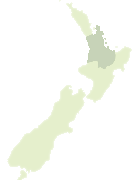

Scroll down to see a more detailed road map and below that a topographical map showing the location of Port Jackson. The road map has been supplied by openstreetmap and the topographical map of Port Jackson has been supplied by Land Information New Zealand (LINZ).

Yes you can use the top static map for you school/university project or personal website with a link back. Contact me for any commercial use.
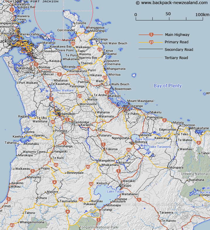
Port Jackson Map New Zealand


New Zealand places in our database
[ A ] [ B ] [ C ] [ D ] [ E ] [ F ] [ G ] [ H ] [ I ] [ J ] [ K ] [ L ] [ M ] [ N ] [ O ] [ P ] [ Q ] [ R ] [ S ] [ T ] [ U ] [ V ] [ W ] [ X ] [ Y ] [ Z ]


Closest 20 Bays to Port Jackson

Goat Bay ( 3.83km )   Fletcher Bay ( 5.06km )   Fantail Bay ( 5.39km )   Poley Bay ( 7.13km )   Shag Bay ( 8.54km )   Stony Bay ( 8.76km )   Rowner Bay ( 9.73km )   Port Charles ( 12.32km )   Sandy Bay ( 12.45km )   Carey Bay ( 13.12km )   Otautu Bay ( 17.52km )   Rauporoa Bay ( 18.05km )   Potiki Bay ( 18.96km )   Whangaahei Bay ( 19.18km )   Pohatuwhakairi Bay ( 19.36km )   Colville Bay ( 19.85km )   Te Karaka Bay ( 19.92km )   Cecilia Sudden Bay ( 19.99km )   Shag Harbour ( 20.37km )   Ross Bay ( 20.67km )   Elephant Cove ( 20.8km )   Tukituki Bay ( 20.87km )   Taylors Bay ( 21.23km )   Sandy Bay ( 21.32km )   Schooner Bay ( 21.34km )   Waikawau Bay ( 21.74km )   Tryphena Harbour ( 22.32km )   Shoal Bay ( 22.4km )   Waitete Bay ( 22.64km )   Smiths Bay ( 22.93km )   Puriri Bay ( 23.33km )   Little Bay ( 23.49km )   Jack Ryan Bay ( 23.85km )   Allom Bay ( 24.85km )   Blind Bay ( 24.85km )   Whangaparapara Harbour ( 25.05km )   Copper Mine Bay ( 25.08km )   Wreck Bay ( 25.15km )   Long Bay ( 25.15km )   Rapid Bay ( 25.28km )