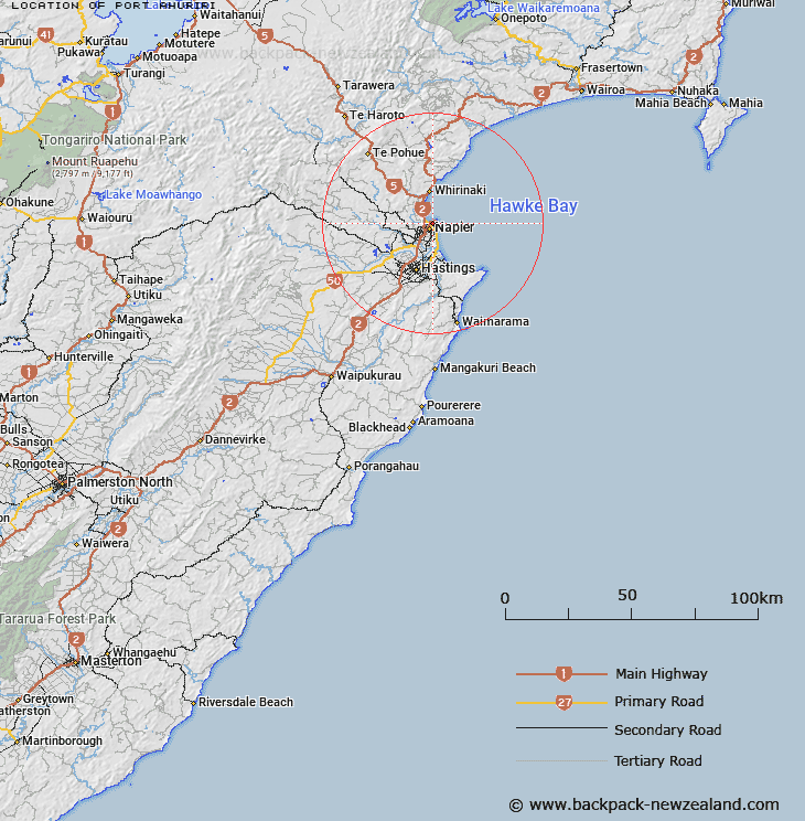
Map showing location of Port Ahuriri
LINZ description: In the City of Napier. Locality comprises that part of the city lying between Battery Road and the sea-coast
Latitude: -39.483989
Longitude: 176.9049
Northing: 5622228.5
Easting: 1935866.7
Land District: Hawke's Bay
Feat Type: Locality
Latitude: -39.483989
Longitude: 176.9049
Northing: 5622228.5
Easting: 1935866.7
Land District: Hawke's Bay
Feat Type: Locality

Scroll down to see a more detailed road map and below that a topographical map showing the location of Port Ahuriri. The road map has been supplied by openstreetmap and the topographical map of Port Ahuriri has been supplied by Land Information New Zealand (LINZ).
Yes you can use the top static map for you school/university project or personal website with a link back. Contact me for any commercial use.
[ A ] [ B ] [ C ] [ D ] [ E ] [ F ] [ G ] [ H ] [ I ] [ J ] [ K ] [ L ] [ M ] [ N ] [ O ] [ P ] [ Q ] [ R ] [ S ] [ T ] [ U ] [ V ] [ W ] [ X ] [ Y ] [ Z ]