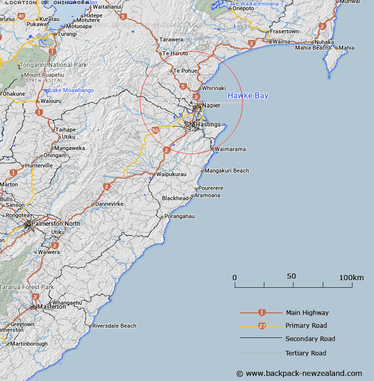
Map showing location of Ohingaora


LINZ description: Near Main Outfall Channel
Latitude: -39.4794
Longitude: 176.834135
Northing: 5623000
Easting: 1929800
Land District: Hawke's Bay
Feat Type: Locality


Scroll down to see a more detailed road map and below that a topographical map showing the location of Ohingaora. The road map has been supplied by openstreetmap and the topographical map of Ohingaora has been supplied by Land Information New Zealand (LINZ).

Yes you can use the top static map for you school/university project or personal website with a link back. Contact me for any commercial use.

Ohingaora Map New Zealand


New Zealand places in our database
[ A ] [ B ] [ C ] [ D ] [ E ] [ F ] [ G ] [ H ] [ I ] [ J ] [ K ] [ L ] [ M ] [ N ] [ O ] [ P ] [ Q ] [ R ] [ S ] [ T ] [ U ] [ V ] [ W ] [ X ] [ Y ] [ Z ]


Closest 20 Localitys to Ohingaora

Taputeranga ( 1.22km )   Tapu-te-rangi ( 1.22km )   Poraiti ( 1.3km )   Poraite ( 1.3km )   Kouturoa ( 2.01km )   Koutouroa ( 2.01km )   Waiwakatetire ( 2.61km )   Waiwakatetere ( 2.61km )   Keteketerau ( 4.81km )   Puketapu ( 4.87km )   Purapara ( 5.38km )   Papapara ( 5.38km )   Te Ihuotekai ( 5.42km )   Te Ihooterei ( 5.42km )   Port Ahuriri ( 6.09km )   Ahuriri ( 6.09km )   Whareponga ( 6.11km )   Wareponga ( 6.11km )   Jervoistown ( 6.9km )   Bay View ( 7.23km )   Moteo ( 7.4km )   Te Awa ( 7.47km )   Waiohiki ( 8.32km )   Meeanee ( 8.61km )   Eskdale ( 9.7km )   Awatoto ( 9.96km )   Pakowhai ( 11.59km )   Dartmoor ( 12.06km )   Rissington ( 12.22km )   Whirinaki ( 12.3km )   Omahu ( 13.18km )   Kohupatiki ( 13.75km )   Fernhill ( 13.82km )   Twyford ( 13.89km )   Whakatu ( 14.88km )   Woolwich ( 15.43km )   Frimley ( 15.99km )   Tomoana ( 16.52km )   Mangateretere ( 16.58km )   Waipatu ( 17.04km )