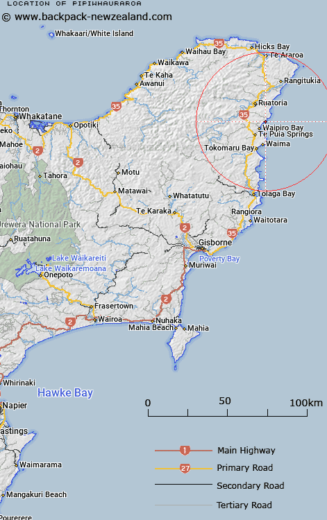
Map showing location of Pipiwhauraroa


LINZ description: Locality 2km south from Wharponga and 2km north-east from Otamarauiri Point.
Latitude: -37.985312
Longitude: 178.367336
Northing: 5782200
Easting: 2071500
Land District: Gisborne
Feat Type: Locality


Scroll down to see a more detailed road map and below that a topographical map showing the location of Pipiwhauraroa. The road map has been supplied by openstreetmap and the topographical map of Pipiwhauraroa has been supplied by Land Information New Zealand (LINZ).

Yes you can use the top static map for you school/university project or personal website with a link back. Contact me for any commercial use.

Pipiwhauraroa Map New Zealand


New Zealand places in our database
[ A ] [ B ] [ C ] [ D ] [ E ] [ F ] [ G ] [ H ] [ I ] [ J ] [ K ] [ L ] [ M ] [ N ] [ O ] [ P ] [ Q ] [ R ] [ S ] [ T ] [ U ] [ V ] [ W ] [ X ] [ Y ] [ Z ]


Closest 20 Localitys to Pipiwhauraroa

Whareponga ( 2.05km )   Ohineakai ( 3.54km )   Waipiro Bay ( 5.05km )   Tuparoa ( 7.53km )   Kopuaroa ( 9.13km )   Te Puia Springs ( 9.19km )   Takapau ( 9.41km )   Te Waipuna ( 9.71km )   Mahora ( 9.82km )   Te Upoko ( 10.1km )   Hiruharama ( 11.39km )   Pohatukura ( 11.52km )   Ruatoria ( 11.68km )   Papawera ( 12.06km )   Reporua ( 12.62km )   Rotokautuku ( 13.08km )   Aorangi ( 13.35km )   Waima ( 13.5km )   Hautanoa ( 13.55km )   Whakapourangi ( 14.21km )   Te Puka ( 14.89km )   Takamore ( 15.56km )   Tokomaru Bay ( 16.52km )   Tuatini ( 16.81km )   Kakariki ( 17.02km )   Whakawhitira ( 17.04km )   Wairoa ( 17.61km )   Ongaruru ( 17.87km )   Ihungia ( 18.1km )   Harongaatekahu ( 18.57km )   Horonga o te Kaahu ( 18.57km )   Port Awanui ( 18.94km )   Waiomatatini ( 19.23km )   Waihoa ( 20.04km )   Hikuwai ( 22.7km )   Rangitukia ( 24.92km )   Maraehara ( 25.88km )   Arero ( 27.5km )   Hinemaurea Marae ( 29.57km )   Huiarua ( 30.16km )