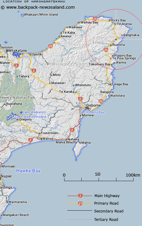
Map showing location of Harongaatekahu


Latitude: -37.818424
Longitude: 178.374488
Northing: 5800700
Easting: 2073200
Land District: Gisborne
Feat Type: Locality


Scroll down to see a more detailed road map and below that a topographical map showing the location of Harongaatekahu. The road map has been supplied by openstreetmap and the topographical map of Harongaatekahu has been supplied by Land Information New Zealand (LINZ).

Yes you can use the top static map for you school/university project or personal website with a link back. Contact me for any commercial use.

Harongaatekahu Map New Zealand


New Zealand places in our database
[ A ] [ B ] [ C ] [ D ] [ E ] [ F ] [ G ] [ H ] [ I ] [ J ] [ K ] [ L ] [ M ] [ N ] [ O ] [ P ] [ Q ] [ R ] [ S ] [ T ] [ U ] [ V ] [ W ] [ X ] [ Y ] [ Z ]


Closest 20 Localitys to Harongaatekahu

Wairoa ( 1.42km )   Kakariki ( 1.78km )   Waiomatatini ( 2.24km )   Whakawhitira ( 4.17km )   Port Awanui ( 6.39km )   Reporua ( 6.96km )   Maraehara ( 7.91km )   Rangitukia ( 8.49km )   Mahora ( 8.81km )   Rotokautuku ( 9.47km )   Ruatoria ( 9.77km )   Takamore ( 10.73km )   Tuparoa ( 11.31km )   Papawera ( 13.02km )   Whakaangiangi ( 13.26km )   Pohatukura ( 13.82km )   Whakapourangi ( 15.38km )   Awatere ( 15.7km )   Hiruharama ( 15.82km )   Whareponga ( 16.63km )   Pipiwhauraroa ( 18.57km )   Pipiwharauroa ( 18.57km )   Aorangi ( 19.74km )   Te Araroa ( 20.59km )   Kopuaroa ( 20.68km )   Ohineakai ( 21.24km )   Horoera ( 21.46km )   Horowera ( 21.46km )   Tokata ( 21.99km )   Waipiro Bay ( 22.8km )   Takapau ( 23.94km )   Hicks Bay ( 26.3km )   Te Puia Springs ( 26.86km )   Te Waipuna ( 28.26km )   Te Upoko ( 28.63km )   Ihungia ( 30.57km )   Waima ( 32.05km )   Hautanoa ( 32.07km )   Te Puka ( 33.25km )   Potaka ( 33.95km )