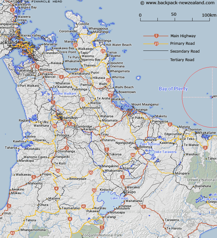
Map showing location of Pinnacle Head


LINZ description: Sharp promontory between Shark Bay and Wilson Bay, White Island, Bay of Plenty
Latitude: -37.524253
Longitude: 177.194239
Northing: 5838695.3
Easting: 1970695.3
Land District: South Auckland
Feat Type: Point


Scroll down to see a more detailed road map and below that a topographical map showing the location of Pinnacle Head. The road map has been supplied by openstreetmap and the topographical map of Pinnacle Head has been supplied by Land Information New Zealand (LINZ).

Yes you can use the top static map for you school/university project or personal website with a link back. Contact me for any commercial use.

Pinnacle Head Map New Zealand


New Zealand places in our database
[ A ] [ B ] [ C ] [ D ] [ E ] [ F ] [ G ] [ H ] [ I ] [ J ] [ K ] [ L ] [ M ] [ N ] [ O ] [ P ] [ Q ] [ R ] [ S ] [ T ] [ U ] [ V ] [ W ] [ X ] [ Y ] [ Z ]


Closest 20 Points to Pinnacle Head

Troup Head ( 0.26km )   North East Point ( 0.91km )   Te Matawiwi ( 2.46km )   Te Matawiwi Point ( 2.49km )   Matakaoa Point ( 48.34km )   Te Kaha Point ( 48.39km )   Kohi Point ( 48.67km )   Pokahinu Point ( 48.94km )   Pokohinu Point ( 48.94km )   Ohae Point ( 48.96km )   Orangoihunui Point ( 49.16km )   Kopuni Point ( 49.21km )   Wharekura Point ( 49.25km )   Tokata Point ( 49.5km )   Okahu Point ( 49.73km )   Puketapu Point ( 49.77km )   Waikawa Point ( 50.14km )   Ohinemango Point ( 50.28km )   Haumiaroa Point ( 52.76km )   Haurere Point ( 52.88km )   Paparoa Point ( 53.4km )   Motuore Point ( 53.54km )   Whitiwhiti Point ( 53.71km )   Te Kauri Point ( 53.73km )   Toritori Point ( 54.56km )   Pukeruru Point ( 54.74km )   Raetoka Point ( 55.27km )   Taratuia Point ( 62.34km )   Orete Point ( 63.18km )   Wharikipanaranara Point ( 67.54km )   Matahau Point ( 67.57km )   Waihi Point ( 67.59km )   Motukahakaha Point ( 67.83km )   Te Ahikehe Point ( 67.91km )   Puwhatawhata Point ( 68.15km )   Te Huruhi Point ( 68.18km )   Okurei Point ( 68.34km )   Town Point ( 68.34km )   Oromai Point ( 68.48km )   Rangiaho Point ( 68.55km )