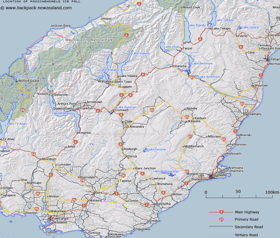
Map showing location of Passchendaele Ice Fall
LINZ description: Icefall between Mount Passchendaele and Destiny Peak, falls into the Joe River Valley, north of Barrier Range.
Feature shown on: NZTopo-CA10 335679
Latitude: -44.455042
Longitude: 168.403498
Northing: 5067300
Easting: 1234300
Land District: Otago
Feat Type: Ice Feature
Latitude: -44.455042
Longitude: 168.403498
Northing: 5067300
Easting: 1234300
Land District: Otago
Feat Type: Ice Feature

Scroll down to see a more detailed road map and below that a topographical map showing the location of Passchendaele Ice Fall. The road map has been supplied by openstreetmap and the topographical map of Passchendaele Ice Fall has been supplied by Land Information New Zealand (LINZ).
Yes you can use the top static map for you school/university project or personal website with a link back. Contact me for any commercial use.
[ A ] [ B ] [ C ] [ D ] [ E ] [ F ] [ G ] [ H ] [ I ] [ J ] [ K ] [ L ] [ M ] [ N ] [ O ] [ P ] [ Q ] [ R ] [ S ] [ T ] [ U ] [ V ] [ W ] [ X ] [ Y ] [ Z ]