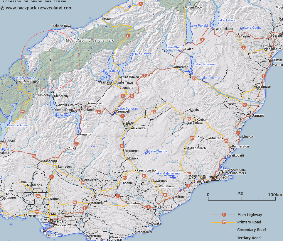
Map showing location of Demon Gap Icefall
LINZ description: At the head of the north branch of the Barrier River
Latitude: -44.392145
Longitude: 168.361981
Northing: 5074100
Easting: 1230600
Land District: Otago
Feat Type: Ice Feature
Latitude: -44.392145
Longitude: 168.361981
Northing: 5074100
Easting: 1230600
Land District: Otago
Feat Type: Ice Feature

Scroll down to see a more detailed road map and below that a topographical map showing the location of Demon Gap Icefall. The road map has been supplied by openstreetmap and the topographical map of Demon Gap Icefall has been supplied by Land Information New Zealand (LINZ).
Yes you can use the top static map for you school/university project or personal website with a link back. Contact me for any commercial use.
[ A ] [ B ] [ C ] [ D ] [ E ] [ F ] [ G ] [ H ] [ I ] [ J ] [ K ] [ L ] [ M ] [ N ] [ O ] [ P ] [ Q ] [ R ] [ S ] [ T ] [ U ] [ V ] [ W ] [ X ] [ Y ] [ Z ]