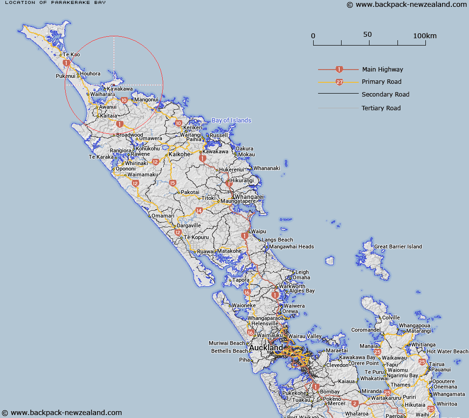
Map showing location of Parakerake Bay


LINZ description: Located east of Whatuwhiwhi at the northern end of the Tokerau Beach on the Karikari Peninsula
Latitude: -34.876349
Longitude: 173.389544
Northing: 6140600
Easting: 1635600
Land District: North Auckland
Feat Type: Bay


Scroll down to see a more detailed road map and below that a topographical map showing the location of Parakerake Bay. The road map has been supplied by openstreetmap and the topographical map of Parakerake Bay has been supplied by Land Information New Zealand (LINZ).

Yes you can use the top static map for you school/university project or personal website with a link back. Contact me for any commercial use.

Parakerake Bay Map New Zealand


New Zealand places in our database
[ A ] [ B ] [ C ] [ D ] [ E ] [ F ] [ G ] [ H ] [ I ] [ J ] [ K ] [ L ] [ M ] [ N ] [ O ] [ P ] [ Q ] [ R ] [ S ] [ T ] [ U ] [ V ] [ W ] [ X ] [ Y ] [ Z ]


Closest 20 Bays to Parakerake Bay

Waikato Bay ( 5.11km )   Karikari Bay ( 5.46km )   Karikari Moana ( 5.46km )   Maitai Bay ( 6.06km )   Ohungahuna Bay ( 6.06km )   Florance Bay ( 6.75km )   Doubtless Bay ( 6.93km )   Te Kahika ( 7.24km )   Whangatupere Bay ( 7.7km )   Kohanga Bay ( 8.43km )   Whataru Bay ( 8.63km )   Waipapa Bay ( 8.63km )   Raupo Bay ( 9.26km )   Commodore Bay ( 9.73km )   Trypot Bay ( 9.89km )   Motutara Bay ( 10.06km )   Rangaunu Harbour ( 13.17km )   Otengi Bay ( 13.34km )   Taipa Bay ( 14.35km )   Doubtless Bay ( 14.35km )   Cable Bay ( 15.23km )   Te Reinga Bay ( 15.37km )   Te Ringa Bay ( 15.37km )   Okaituna Bay ( 17.48km )   Mill Bay ( 17.71km )   Butler Bay ( 17.81km )   Rangaunu Bay ( 18.05km )   Taimaru Bay ( 18.64km )   Taimaro Bay ( 18.64km )   Taemaro Bay ( 18.64km )   Whangarino Bay ( 18.99km )   Mangonui Harbour ( 19.22km )   Mongonui Harbour ( 19.22km )   Houhora Bay ( 21.3km )   Waimahana Bay ( 22.8km )   Motukahakaha Bay ( 25.28km )   Houhora Harbour ( 25.68km )   Henderson Bay ( 27.08km )   ?taipango / Henderson Bay ( 27.08km )   Tupou Bay ( 27.14km )