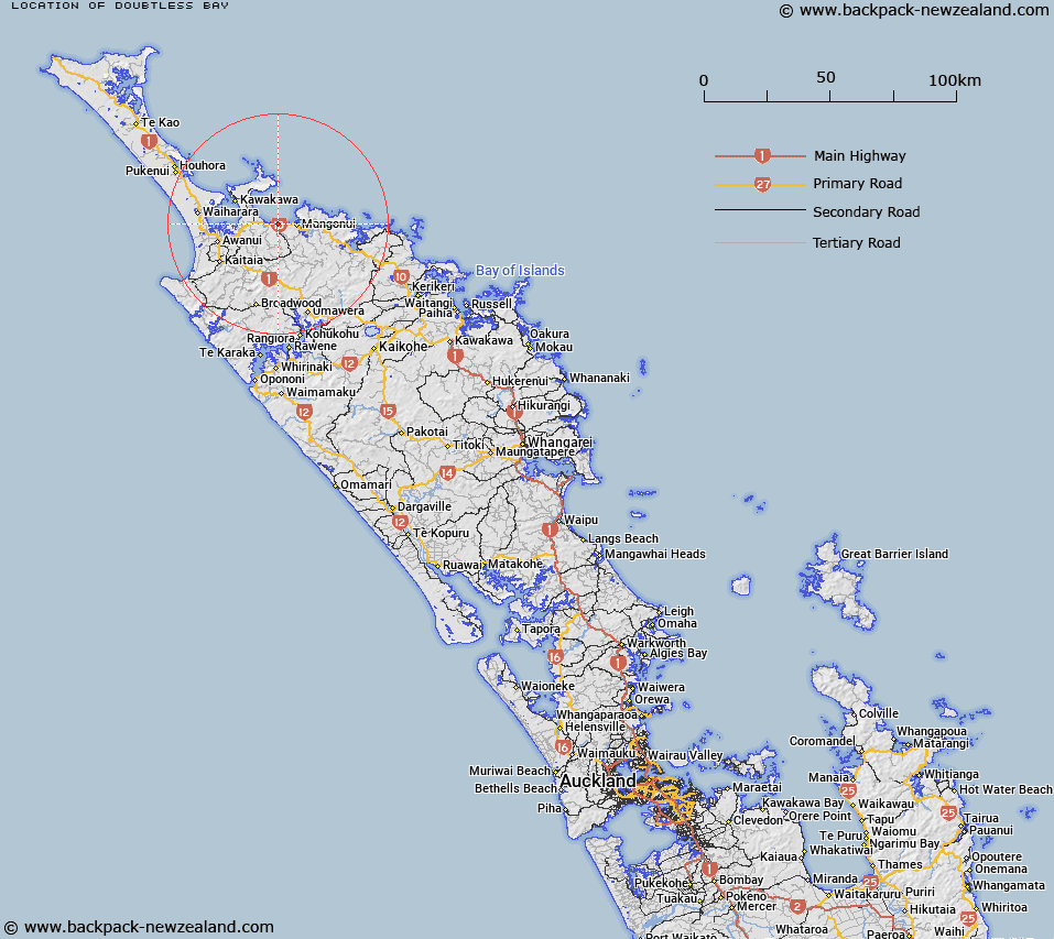
Map showing location of Doubtless Bay


LINZ description: Located east of Cable Bay, where Taipa River exits into the sea.
Latitude: -34.98896
Longitude: 173.466449
Northing: 6128081.9
Easting: 1642570.1
Land District: North Auckland
Feat Type: Bay


Scroll down to see a more detailed road map and below that a topographical map showing the location of Doubtless Bay. The road map has been supplied by openstreetmap and the topographical map of Doubtless Bay has been supplied by Land Information New Zealand (LINZ).

Yes you can use the top static map for you school/university project or personal website with a link back. Contact me for any commercial use.

Doubtless Bay Map New Zealand


New Zealand places in our database
[ A ] [ B ] [ C ] [ D ] [ E ] [ F ] [ G ] [ H ] [ I ] [ J ] [ K ] [ L ] [ M ] [ N ] [ O ] [ P ] [ Q ] [ R ] [ S ] [ T ] [ U ] [ V ] [ W ] [ X ] [ Y ] [ Z ]


Closest 20 Bays to Doubtless Bay

Otengi Bay ( 1.59km )   Cable Bay ( 1.65km )   Mill Bay ( 5.68km )   Butler Bay ( 7km )   Mangonui Harbour ( 7.62km )   Mongonui Harbour ( 7.62km )   Doubtless Bay ( 7.86km )   Te Reinga Bay ( 8.85km )   Te Ringa Bay ( 8.85km )   Taimaro Bay ( 11.12km )   Taemaro Bay ( 11.12km )   Taimaru Bay ( 11.12km )   Okaituna Bay ( 11.71km )   Whangarino Bay ( 12.27km )   Parakerake Bay ( 14.35km )   Waimahana Bay ( 14.86km )   Florance Bay ( 16.64km )   Whangatupere Bay ( 16.75km )   Motukahakaha Bay ( 17.14km )   Waikato Bay ( 17.81km )   Rangaunu Harbour ( 18km )   Tupou Bay ( 18.81km )   Maitai Bay ( 19km )   Ohungahuna Bay ( 19km )   Kohanga Bay ( 19.26km )   Karikari Bay ( 19.72km )   Karikari Moana ( 19.72km )   Te Kahika ( 20.01km )   Raupo Bay ( 21.21km )   Frear Bay ( 21.64km )   Camp Bay ( 21.86km )   Waihapa Bay ( 22.08km )   Motutara Bay ( 22.14km )   Waipapa Bay ( 22.23km )   Whataru Bay ( 22.23km )   Taupo Bay (West Bay) ( 22.44km )   Commodore Bay ( 23.61km )   Rere Bay ( 23.68km )   Te Rere Bay ( 23.68km )   Trypot Bay ( 23.93km )