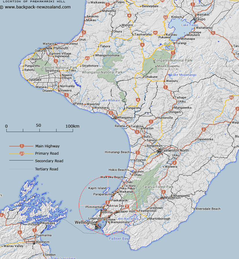
Map showing location of Paekākāriki Hill
LINZ description: Located between Pukerua Bay suburb to the west, Pāuatahanui locality to the south-west, and Judgeford locality to the south-east. NZTopo50 BP32-Paraparaumu, GR 630 544.
Latitude: -41.043097
Longitude: 174.930118
Northing: 5454664.2
Easting: 1762224.4
Land District: Wellington
Feat Type: Locality
Latitude: -41.043097
Longitude: 174.930118
Northing: 5454664.2
Easting: 1762224.4
Land District: Wellington
Feat Type: Locality

Scroll down to see a more detailed road map and below that a topographical map showing the location of Paekākāriki Hill. The road map has been supplied by openstreetmap and the topographical map of Paekākāriki Hill has been supplied by Land Information New Zealand (LINZ).
Yes you can use the top static map for you school/university project or personal website with a link back. Contact me for any commercial use.
[ A ] [ B ] [ C ] [ D ] [ E ] [ F ] [ G ] [ H ] [ I ] [ J ] [ K ] [ L ] [ M ] [ N ] [ O ] [ P ] [ Q ] [ R ] [ S ] [ T ] [ U ] [ V ] [ W ] [ X ] [ Y ] [ Z ]