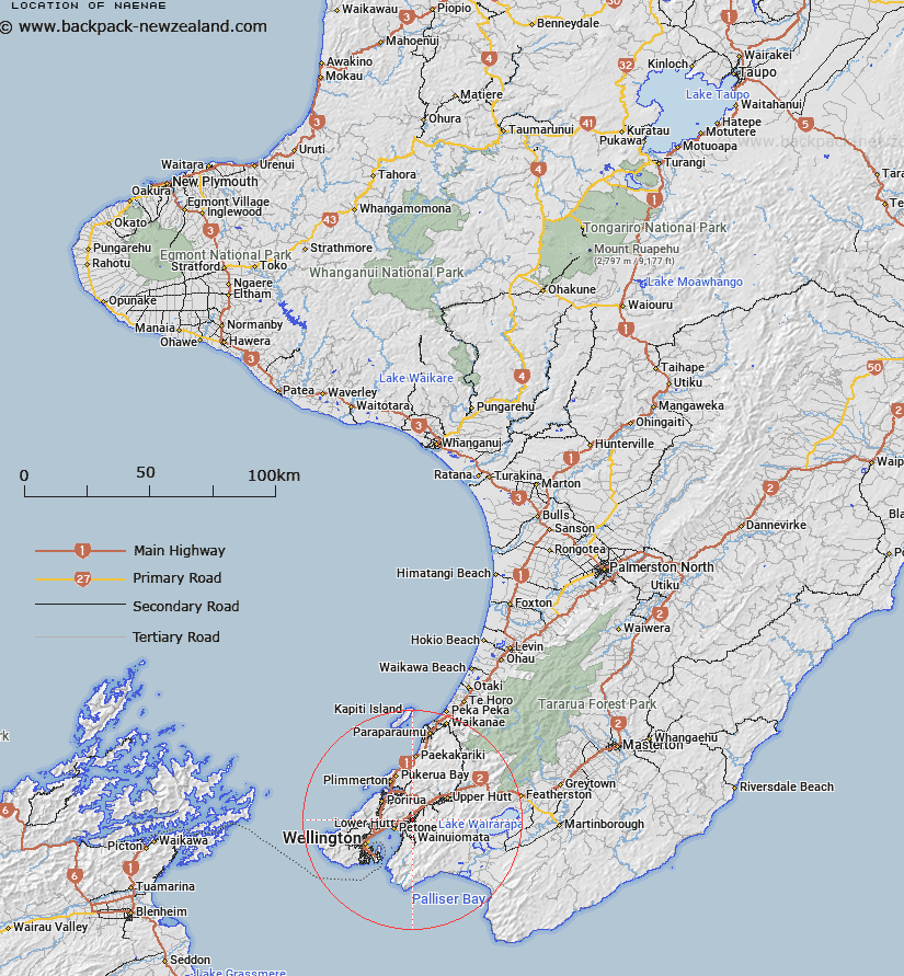
Map showing location of Naenae
LINZ description: Suburb of the city of Lower Hutt in Wellington land district. 4km from Lower Hutt Central business district. Feature shown on: NZMS260 R27 R28 Pt Q27 Edition 3 1996
Latitude: -41.198349
Longitude: 174.945115
Northing: 5437400
Easting: 1763100
Land District: Wellington
Feat Type: Locality
Latitude: -41.198349
Longitude: 174.945115
Northing: 5437400
Easting: 1763100
Land District: Wellington
Feat Type: Locality

Scroll down to see a more detailed road map and below that a topographical map showing the location of Naenae. The road map has been supplied by openstreetmap and the topographical map of Naenae has been supplied by Land Information New Zealand (LINZ).
Yes you can use the top static map for you school/university project or personal website with a link back. Contact me for any commercial use.
[ A ] [ B ] [ C ] [ D ] [ E ] [ F ] [ G ] [ H ] [ I ] [ J ] [ K ] [ L ] [ M ] [ N ] [ O ] [ P ] [ Q ] [ R ] [ S ] [ T ] [ U ] [ V ] [ W ] [ X ] [ Y ] [ Z ]