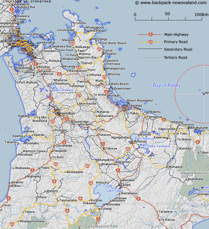
Map showing location of Otaketake
LINZ description: Māori landing place on southern coast of White Island, Bay of Plenty. Southernmost point on the island.
Latitude: -37.530028
Longitude: 177.187454
Northing: 5838081
Easting: 1970066.7
Land District: South Auckland
Feat Type: Locality
Latitude: -37.530028
Longitude: 177.187454
Northing: 5838081
Easting: 1970066.7
Land District: South Auckland
Feat Type: Locality

Scroll down to see a more detailed road map and below that a topographical map showing the location of Otaketake. The road map has been supplied by openstreetmap and the topographical map of Otaketake has been supplied by Land Information New Zealand (LINZ).
Yes you can use the top static map for you school/university project or personal website with a link back. Contact me for any commercial use.
[ A ] [ B ] [ C ] [ D ] [ E ] [ F ] [ G ] [ H ] [ I ] [ J ] [ K ] [ L ] [ M ] [ N ] [ O ] [ P ] [ Q ] [ R ] [ S ] [ T ] [ U ] [ V ] [ W ] [ X ] [ Y ] [ Z ]