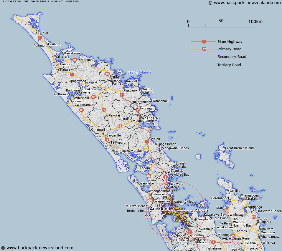
Map showing location of Ōhinerau / Mount Hobson
LINZ description: A hill at 143m between Newmarket (town) and Remuera (suburb). NZTopo50-BA32 593171. Feature shown on: NZMS260 R11 Edition 2 1994
Latitude: -36.878222
Longitude: 174.787417
Northing: 5917145.3
Easting: 1759297.9
Land District: North Auckland
Feat Type: Hill
Latitude: -36.878222
Longitude: 174.787417
Northing: 5917145.3
Easting: 1759297.9
Land District: North Auckland
Feat Type: Hill

Scroll down to see a more detailed road map and below that a topographical map showing the location of Ōhinerau / Mount Hobson. The road map has been supplied by openstreetmap and the topographical map of Ōhinerau / Mount Hobson has been supplied by Land Information New Zealand (LINZ).
Yes you can use the top static map for you school/university project or personal website with a link back. Contact me for any commercial use.
[ A ] [ B ] [ C ] [ D ] [ E ] [ F ] [ G ] [ H ] [ I ] [ J ] [ K ] [ L ] [ M ] [ N ] [ O ] [ P ] [ Q ] [ R ] [ S ] [ T ] [ U ] [ V ] [ W ] [ X ] [ Y ] [ Z ]