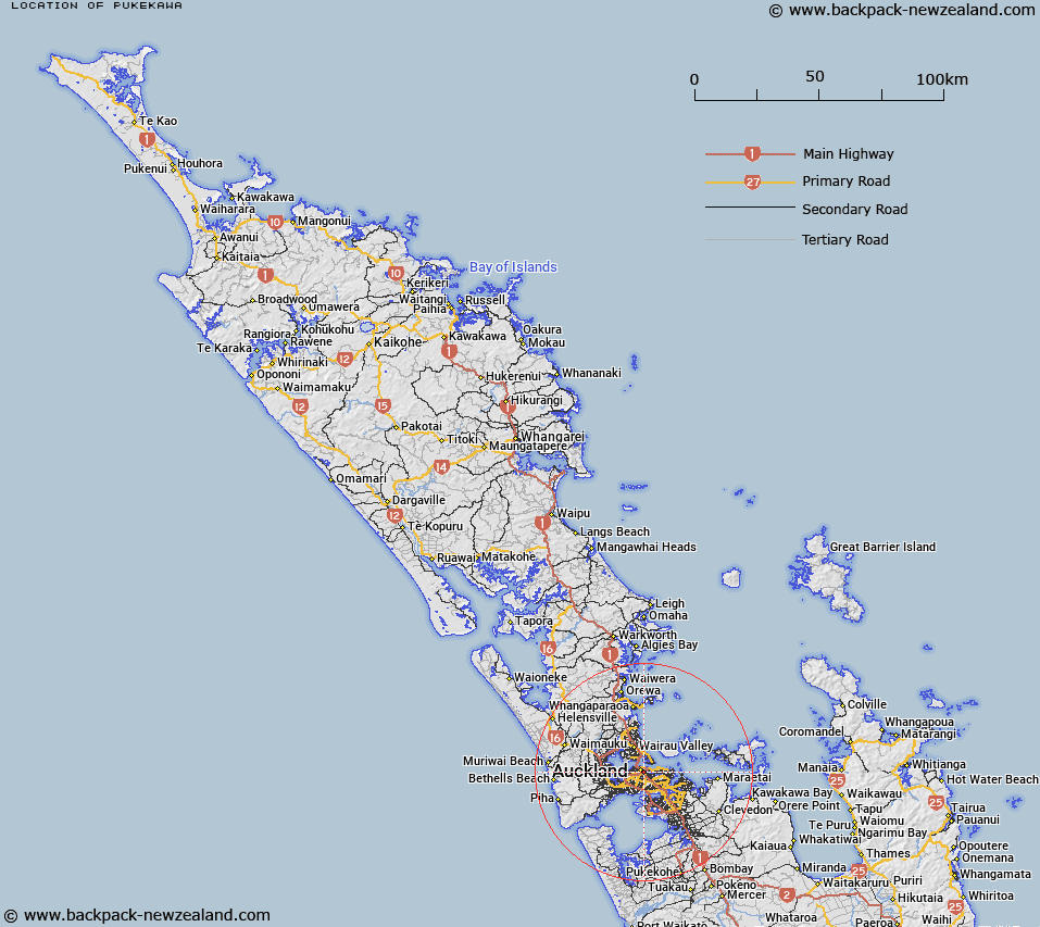
Map showing location of Pukekawa


LINZ description: A hill between Parnell (suburb) and Grafton (suburb). NZTopo50-BA32 582195.
Latitude: -36.857214
Longitude: 174.774908
Northing: 5919496.9
Easting: 1758226.3
Land District: North Auckland
Feat Type: Hill


Scroll down to see a more detailed road map and below that a topographical map showing the location of Pukekawa. The road map has been supplied by openstreetmap and the topographical map of Pukekawa has been supplied by Land Information New Zealand (LINZ).

Yes you can use the top static map for you school/university project or personal website with a link back. Contact me for any commercial use.

Pukekawa Map New Zealand


New Zealand places in our database
[ A ] [ B ] [ C ] [ D ] [ E ] [ F ] [ G ] [ H ] [ I ] [ J ] [ K ] [ L ] [ M ] [ N ] [ O ] [ P ] [ Q ] [ R ] [ S ] [ T ] [ U ] [ V ] [ W ] [ X ] [ Y ] [ Z ]


Closest 20 Hills to Pukekawa

Maungawhau / Mount Eden ( 2.51km )   Mount Eden ( 2.51km )   ?hinerau / Mount Hobson ( 2.59km )   Mount Hobson ( 2.59km )   T?t?k?puke ( 2.98km )   Te K?puke ( 2.98km )   Mount Saint John ( 2.98km )   Takarunga / Mount Victoria ( 3.99km )   Mount Victoria ( 3.99km )   Takapuna ( 4.65km )   Maungauika ( 4.65km )   Maungakiekie / One Tree Hill ( 4.83km )   One Tree Hill ( 4.83km )   Te T?tua-a-Riukiuta ( 5.4km )   Big King ( 5.4km )   Mount Albert ( 6.16km )   Te Ahi-k?-a-Rakataura ( 6.16km )   ?wairaka ( 6.16km )   Puket?papa ( 7.05km )   Mount Roskill ( 7.05km )   Pukew?w? ( 7.05km )   Maungarei / Mount Wellington ( 7.51km )   Mount Wellington ( 7.51km )   Rarotonga / Mount Smart ( 7.53km )   Taylor Hill ( 8.51km )   Taurere / Taylor Hill ( 8.51km )   Mutukaroa / Hamlin Hill ( 8.95km )   Hamlin Hill ( 8.95km )   ?t?huhu / Mount Richmond ( 10.23km )   Mount Richmond ( 10.23km )   Te Ara Pueru ( 10.29km )   Te Pane-o-Mataoho ( 10.29km )   Rangitoto ( 10.68km )   ?huiarangi / Pigeon Mountain ( 11.96km )   Pigeon Mountain ( 11.96km )   Puke o Tara ( 15.05km )   Maungataketake ( 15.48km )   Matukut?ruru ( 18.12km )   McLaughlins Mountain ( 18.43km )   Matukut?reia / McLaughlins Mountain ( 18.43km )