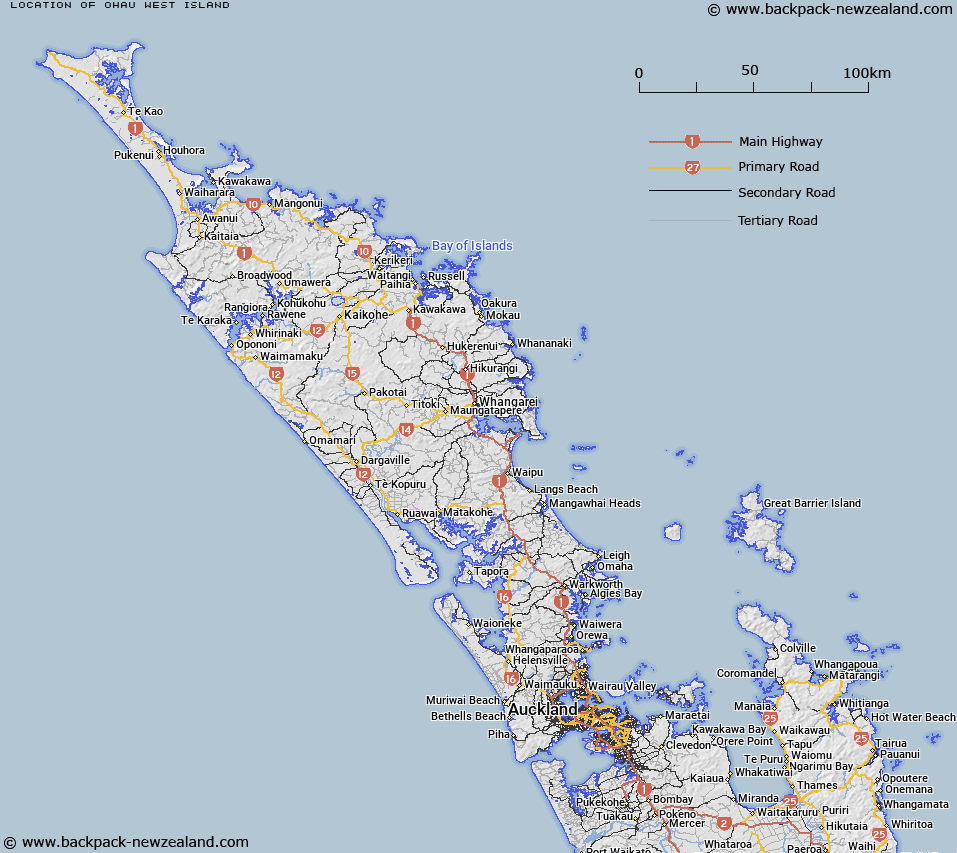
Map showing location of Ōhau / West Island


LINZ description: An island approximately 65km north-west of Cape Reinga / Te Rerenga Wairua. It is the most western island of the Manawatāwhi / Three Kings Islands. Feature shown on: NZMS260 L01; NZTopo50-AS21 110168.
Latitude: -34.185127
Longitude: 172.033736
Northing: 6216895.4
Easting: 1510960.1
Land District: North Auckland
Feat Type: Island


Scroll down to see a more detailed road map and below that a topographical map showing the location of Ōhau / West Island. The road map has been supplied by openstreetmap and the topographical map of Ōhau / West Island has been supplied by Land Information New Zealand (LINZ).

Yes you can use the top static map for you school/university project or personal website with a link back. Contact me for any commercial use.

Ōhau / West Island Map New Zealand


New Zealand places in our database
[ A ] [ B ] [ C ] [ D ] [ E ] [ F ] [ G ] [ H ] [ I ] [ J ] [ K ] [ L ] [ M ] [ N ] [ O ] [ P ] [ Q ] [ R ] [ S ] [ T ] [ U ] [ V ] [ W ] [ X ] [ Y ] [ Z ]


Closest 20 Islands to Ōhau / West Island

Princes Islands ( 1.55km )   South West Island ( 3.57km )   Moekawa / South West Island ( 3.57km )   Manawat?whi/Three Kings Islands ( 6.13km )   Three Kings Islands ( 6.13km )   Great Island (Manawa Tawhi) ( 9.88km )   Manawat?whi/Great Island ( 9.88km )   Farmer Rocks ( 12.68km )   North East Island ( 13.59km )   Oromaki / North East Island ( 13.59km )   Motuopao Island ( 63.74km )   Taupiri Island ( 65.64km )   Pananehe Island ( 80.01km )   Pananahe Island ( 80.01km )   Matapia ( 84.33km )   Motupia Island ( 84.33km )   Dog Island (Motuwhangaikirehe Island) ( 91.98km )   Te Wakatehaua Island ( 96.23km )   Wakateh?ua Island ( 96.23km )   Kaipohue Island ( 96.6km )   Murimotu Island ( 96.69km )   Motu Puruhi Island ( 120.85km )   Simmonds Islands ( 120.87km )   Terakautuhaka Island ( 120.88km )   Motuotuna Island ( 122.83km )   Tokoroa Island ( 124.36km )   Motutara Rocks ( 136.78km )   Moturoa Island ( 136.91km )   Motutapu Island ( 138.32km )   Green Island ( 138.32km )   Moturoa Islands ( 138.62km )   Sugarloaf Island ( 138.74km )   Scheigis Rock ( 139.6km )   Tuputupungahau Island ( 140.23km )   Whale Island ( 140.23km )   Walker Island ( 140.54km )   T?huahua-Paopao-Karoro Island ( 140.54km )   Rat Island ( 140.63km )   Rocky Island ( 140.88km )   Tangihana Shell Bank ( 141.27km )