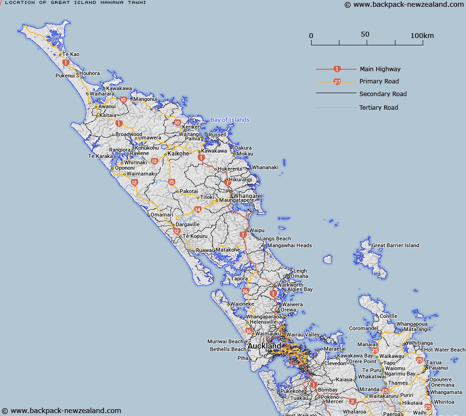
Map showing location of Great Island (Manawa Tawhi)


LINZ description: Main island in the Manawatāwhi/Three Kings Islands group.
Latitude: -34.159066
Longitude: 172.136441
Northing: 6219870
Easting: 1520400
Land District: North Auckland
Feat Type: Island


Scroll down to see a more detailed road map and below that a topographical map showing the location of Great Island (Manawa Tawhi). The road map has been supplied by openstreetmap and the topographical map of Great Island (Manawa Tawhi) has been supplied by Land Information New Zealand (LINZ).

Yes you can use the top static map for you school/university project or personal website with a link back. Contact me for any commercial use.

Great Island (Manawa Tawhi) Map New Zealand


New Zealand places in our database
[ A ] [ B ] [ C ] [ D ] [ E ] [ F ] [ G ] [ H ] [ I ] [ J ] [ K ] [ L ] [ M ] [ N ] [ O ] [ P ] [ Q ] [ R ] [ S ] [ T ] [ U ] [ V ] [ W ] [ X ] [ Y ] [ Z ]


Closest 20 Islands to Great Island (Manawa Tawhi)

Farmer Rocks ( 2.79km )   Manawat?whi/Three Kings Islands ( 4.06km )   Three Kings Islands ( 4.06km )   Oromaki / North East Island ( 4.12km )   North East Island ( 4.12km )   Moekawa / South West Island ( 6.31km )   South West Island ( 6.31km )   Princes Islands ( 8.45km )   ?hau / West Island ( 9.88km )   West Island ( 9.88km )   Motuopao Island ( 57.4km )   Taupiri Island ( 59.36km )   Pananahe Island ( 72.29km )   Pananehe Island ( 72.29km )   Motupia Island ( 78.48km )   Matapia ( 78.48km )   Dog Island (Motuwhangaikirehe Island) ( 84.81km )   Murimotu Island ( 88.51km )   Kaipohue Island ( 89.85km )   Te Wakatehaua Island ( 90.57km )   Wakateh?ua Island ( 90.57km )   Motu Puruhi Island ( 114.62km )   Simmonds Islands ( 114.63km )   Terakautuhaka Island ( 114.64km )   Motuotuna Island ( 117km )   Tokoroa Island ( 118.52km )   Moturoa Island ( 130.21km )   Motutara Rocks ( 130.7km )   Motutapu Island ( 131.64km )   Green Island ( 131.64km )   Moturoa Islands ( 131.93km )   Sugarloaf Island ( 132.08km )   Whale Island ( 133.54km )   Tuputupungahau Island ( 133.54km )   Scheigis Rock ( 133.68km )   Rocky Island ( 134.09km )   T?huahua-Paopao-Karoro Island ( 134.72km )   Walker Island ( 134.72km )   Rat Island ( 135.2km )   Tangihana Shell Bank ( 135.49km )