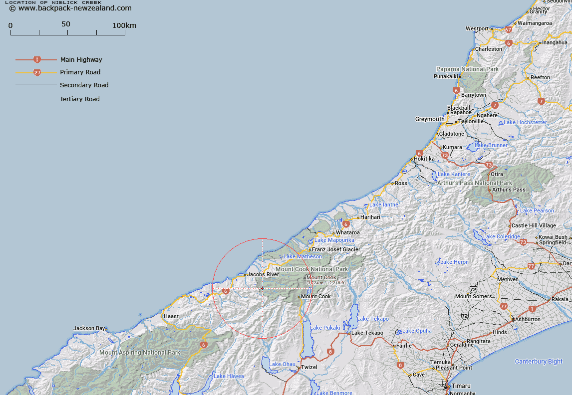
Map showing location of Niblick Creek
LINZ description: Left bank tributary of upper Karangarua River, rising 2km North of McGloin Peak in the Bare Rocky Range, flowing South-eastward and joining Karangarua River 1km upstream of Douglas River. Block I Mount Sefton Survey District.
Latitude: -43.670255
Longitude: 169.815663
Northing: 5159821.6
Easting: 1343282.6
Land District: Westland
Feat Type: Stream
Latitude: -43.670255
Longitude: 169.815663
Northing: 5159821.6
Easting: 1343282.6
Land District: Westland
Feat Type: Stream

Scroll down to see a more detailed road map and below that a topographical map showing the location of Niblick Creek. The road map has been supplied by openstreetmap and the topographical map of Niblick Creek has been supplied by Land Information New Zealand (LINZ).
Yes you can use the top static map for you school/university project or personal website with a link back. Contact me for any commercial use.
[ A ] [ B ] [ C ] [ D ] [ E ] [ F ] [ G ] [ H ] [ I ] [ J ] [ K ] [ L ] [ M ] [ N ] [ O ] [ P ] [ Q ] [ R ] [ S ] [ T ] [ U ] [ V ] [ W ] [ X ] [ Y ] [ Z ]