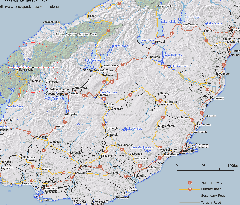
Map showing location of Nerine Lake


LINZ description: Lake on Nereus Peak at the north end of Humboldt Mountains, above Rock Burn.
Latitude: -44.634948
Longitude: 168.205081
Northing: 5046407
Easting: 1219689.1
Land District: Otago
Feat Type: Lake


Scroll down to see a more detailed road map and below that a topographical map showing the location of Nerine Lake. The road map has been supplied by openstreetmap and the topographical map of Nerine Lake has been supplied by Land Information New Zealand (LINZ).

Yes you can use the top static map for you school/university project or personal website with a link back. Contact me for any commercial use.

Nerine Lake Map New Zealand


New Zealand places in our database
[ A ] [ B ] [ C ] [ D ] [ E ] [ F ] [ G ] [ H ] [ I ] [ J ] [ K ] [ L ] [ M ] [ N ] [ O ] [ P ] [ Q ] [ R ] [ S ] [ T ] [ U ] [ V ] [ W ] [ X ] [ Y ] [ Z ]


Closest 20 Lakes to Nerine Lake

Lake Hyslop ( 3.92km )   Lake Unknown ( 5.59km )   Lake Wilson ( 8.15km )   Lake Harris ( 10.29km )   Lake Mystery ( 11.09km )   Rainbow Lake ( 11.27km )   Lake Sylvan ( 11.95km )   Lake Silvan ( 11.95km )   Lake Agnes ( 13.28km )   Lake Alabaster/W?w?hi Waka ( 13.49km )   Lake Alabaster ( 13.49km )   Lake Turner ( 13.69km )   Fohn Lakes ( 14.1km )   Lake Mantle ( 14.26km )   Lake Mackenzie ( 14.52km )   Lake Iceberg ( 15.55km )   Lake Speden ( 15.94km )   Lake Adelaide ( 16.19km )   Lake Never ( 16.73km )   Diamond Lake ( 17.74km )   Lake Marianette ( 17.92km )   Lake Truth ( 18.01km )   Lake Mariana ( 18.03km )   Lake Roberts ( 18.86km )   Black Lake ( 19.33km )   Lake Marian ( 19.72km )   Lake Reid ( 20.34km )   Lake Howden ( 21.24km )   Lake Never-never ( 21.74km )   Lake Lochie ( 22.89km )   Pukutahi Lake ( 22.92km )   Lake McKerrow/Whakatipu Waitai ( 23.43km )   Lake McKerrow ( 23.43km )   Lake Fergus ( 24.41km )   Lake McKellar ( 24.99km )   Lake Thompson ( 25km )   Buttercup Lake ( 26.96km )   Lake Wilmot ( 27.92km )   Lake Erskine ( 28.13km )   Lake Gunn ( 28.26km )