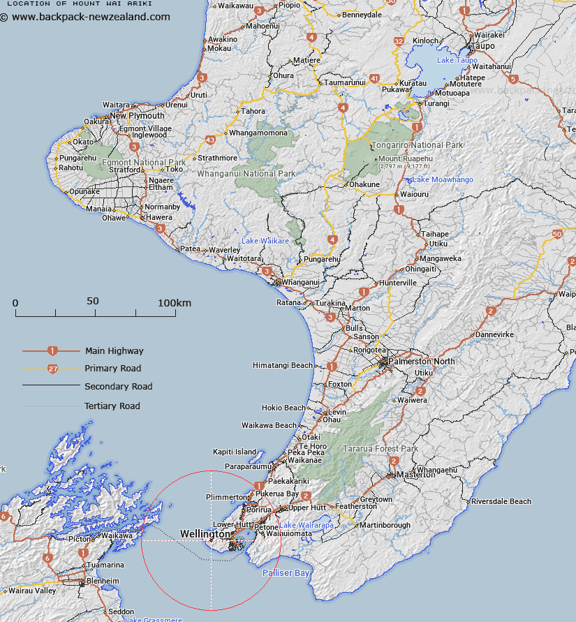
Map showing location of Mount Wai-ariki
LINZ description: Located west of Wellington along Oteranga Bay Road (private), topographic map 260-R27,R28&Pt.Q27-Wellington, height 483m, GR 490 888. At the summit is a beaconed trig station named ‘A Mt Misery’ (geodetic code 8111).
Latitude: -41.295462
Longitude: 174.660566
Northing: 5427113.2
Easting: 1739033.2
Land District: Wellington
Feat Type: Hill
Latitude: -41.295462
Longitude: 174.660566
Northing: 5427113.2
Easting: 1739033.2
Land District: Wellington
Feat Type: Hill

Scroll down to see a more detailed road map and below that a topographical map showing the location of Mount Wai-ariki. The road map has been supplied by openstreetmap and the topographical map of Mount Wai-ariki has been supplied by Land Information New Zealand (LINZ).
Yes you can use the top static map for you school/university project or personal website with a link back. Contact me for any commercial use.
[ A ] [ B ] [ C ] [ D ] [ E ] [ F ] [ G ] [ H ] [ I ] [ J ] [ K ] [ L ] [ M ] [ N ] [ O ] [ P ] [ Q ] [ R ] [ S ] [ T ] [ U ] [ V ] [ W ] [ X ] [ Y ] [ Z ]