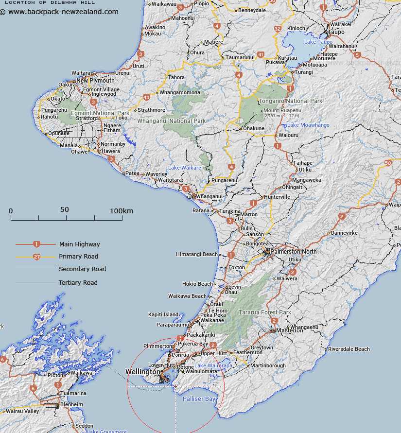
Map showing location of Dilemma Hill


LINZ description: At 224m height north of Okakaho Stream and west of the Wainuiomata River.
Latitude: -41.372275
Longitude: 174.885721
Northing: 5418200
Easting: 1757700
Land District: Wellington
Feat Type: Hill


Scroll down to see a more detailed road map and below that a topographical map showing the location of Dilemma Hill. The road map has been supplied by openstreetmap and the topographical map of Dilemma Hill has been supplied by Land Information New Zealand (LINZ).

Yes you can use the top static map for you school/university project or personal website with a link back. Contact me for any commercial use.

Dilemma Hill Map New Zealand


New Zealand places in our database
[ A ] [ B ] [ C ] [ D ] [ E ] [ F ] [ G ] [ H ] [ I ] [ J ] [ K ] [ L ] [ M ] [ N ] [ O ] [ P ] [ Q ] [ R ] [ S ] [ T ] [ U ] [ V ] [ W ] [ X ] [ Y ] [ Z ]


Closest 20 Hills to Dilemma Hill

Finger Hill ( 0.85km )   Valley View Hill ( 0.86km )   Waengapu ( 2.25km )   Para ( 3.73km )   Sugarloaf ( 3.99km )   Baker Hill ( 4.07km )   Mount Cameron ( 4.41km )   Mount Grace ( 5.7km )   Wry Hill ( 5.89km )   Kotumu ( 5.93km )   Waimarara ( 6.05km )   The Peak ( 6.47km )   Tapokopoko ( 7.1km )   McKerrow ( 9.71km )   Mount Crawford ( 9.89km )   Mount Matthews ( 10.96km )   Mount Victoria ( 11.31km )   Lowry ( 12.08km )   Hawkins Hill ( 14.17km )   Papatahi ( 14.82km )   Wright Hill ( 14.84km )   Tinakore Hill ( 15.14km )   Te Ahumairangi Hill ( 15.14km )   Puketaha ( 15.78km )   Makara Hill ( 17.53km )   The Crows Nest ( 17.72km )   British Peak ( 17.82km )   Kaukau ( 18.07km )   Puketirotiro ( 18.25km )   Maori ( 18.25km )   Mill Hill ( 20.09km )   Middle Hill ( 20.54km )   Mount Wai-ariki ( 20.65km )   Mount Misery ( 20.65km )   White Rock Hill ( 20.66km )   Far Hill ( 21.02km )   Belmont ( 21.03km )   Quartz Hill ( 21.16km )   Outlook Hill ( 21.17km )   Devine ( 21.23km )