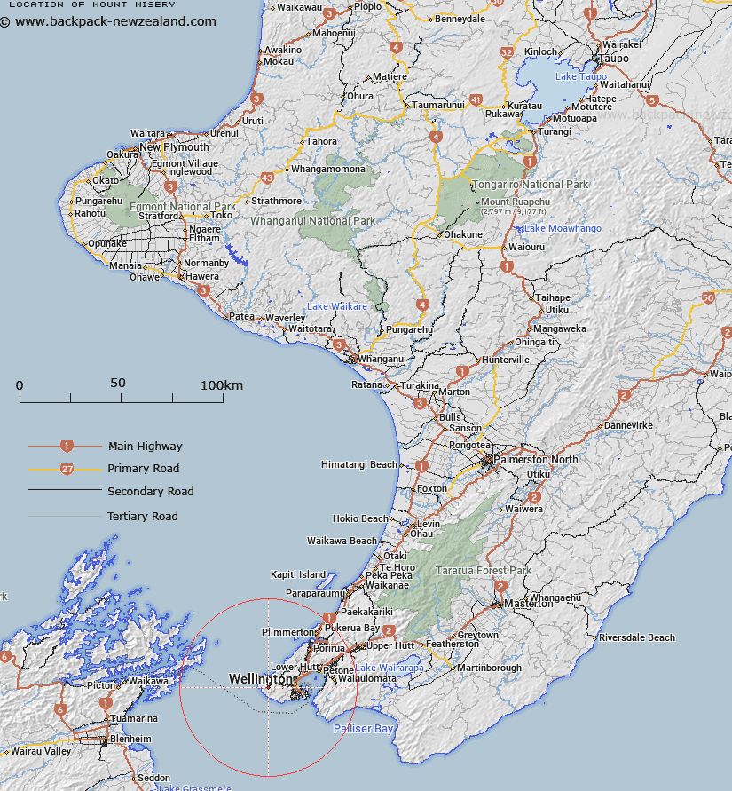
Map showing location of Mount Misery
LINZ description: Located west of Wellington along Oteranga Bay Road (private), topographic map 260-R27,R28&Pt.Q27-Wellington, height 483m, GR 490 888. At the summit is a beaconed trig station named ‘A Mt Misery’ (geodetic code 8111).
Latitude: -41.295462
Longitude: 174.660566
Northing: 5427113.2
Easting: 1739033.2
Land District: Wellington
Feat Type: Hill
Latitude: -41.295462
Longitude: 174.660566
Northing: 5427113.2
Easting: 1739033.2
Land District: Wellington
Feat Type: Hill

Scroll down to see a more detailed road map and below that a topographical map showing the location of Mount Misery. The road map has been supplied by openstreetmap and the topographical map of Mount Misery has been supplied by Land Information New Zealand (LINZ).
Yes you can use the top static map for you school/university project or personal website with a link back. Contact me for any commercial use.
[ A ] [ B ] [ C ] [ D ] [ E ] [ F ] [ G ] [ H ] [ I ] [ J ] [ K ] [ L ] [ M ] [ N ] [ O ] [ P ] [ Q ] [ R ] [ S ] [ T ] [ U ] [ V ] [ W ] [ X ] [ Y ] [ Z ]