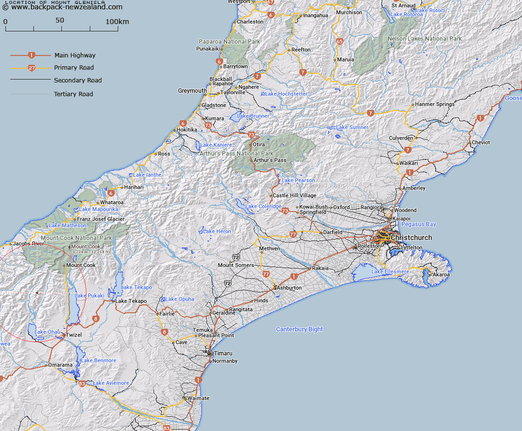
Map showing location of Mount Glenisla


LINZ description: Peak (2392m) in the Naumann Range approximately 4.25km North of Mount Glenmary, above the Hopkins River. Block IX Ward Survey District.
Latitude: -43.938959
Longitude: 169.888129
Northing: 5130198.2
Easting: 1350248.2
Land District: Canterbury
Feat Type: Hill


Scroll down to see a more detailed road map and below that a topographical map showing the location of Mount Glenisla. The road map has been supplied by openstreetmap and the topographical map of Mount Glenisla has been supplied by Land Information New Zealand (LINZ).

Yes you can use the top static map for you school/university project or personal website with a link back. Contact me for any commercial use.

Mount Glenisla Map New Zealand


New Zealand places in our database
[ A ] [ B ] [ C ] [ D ] [ E ] [ F ] [ G ] [ H ] [ I ] [ J ] [ K ] [ L ] [ M ] [ N ] [ O ] [ P ] [ Q ] [ R ] [ S ] [ T ] [ U ] [ V ] [ W ] [ X ] [ Y ] [ Z ]


Closest 20 Hills to Mount Glenisla

Mount Glencairn ( 2.38km )   Dasler Pinnacles ( 2.52km )   Armistice Peak ( 3.61km )   Mount Glenmary ( 4.24km )   Ben Ross ( 4.73km )   Hut Peak ( 7.26km )   Gillies Peak ( 7.46km )   Mount Reticence ( 7.9km )   Taiaha Peak ( 8.35km )   McNulty Peak ( 8.55km )   Mount Dundas ( 9km )   Mount Ward ( 9.15km )   Mount Jackson ( 9.2km )   Mount Hickson ( 9.44km )   Baker Peak ( 9.48km )   Mount Clark ( 10.24km )   Mount Clarke ( 10.24km )   Barron Peak ( 10.38km )   Mount Fraser ( 10.45km )   Mount Kitson ( 10.47km )   Welch Peak ( 10.49km )   Mount Dobson ( 10.66km )   Dun Fiunary ( 10.66km )   Mount Marchant ( 10.77km )   Boanerges ( 11.05km )   Mount Browning ( 11.27km )   Glentanner Peak ( 11.32km )   Mount Williams ( 11.43km )   Mount Trent ( 11.46km )   Ferintosh Peak ( 11.63km )   Mount Glen Lyon ( 11.64km )   Mount Nihokohatu ( 11.96km )   Mount Baker ( 11.96km )   Mauka Atua ( 12.8km )   Mount Percy Smith ( 12.87km )   Kai Tarau ( 12.88km )   Mount Mackenzie ( 13.27km )   Mount McKenzie ( 13.27km )   Kaimakamaka Peaks ( 13.72km )   Mount Humphries ( 14.01km )