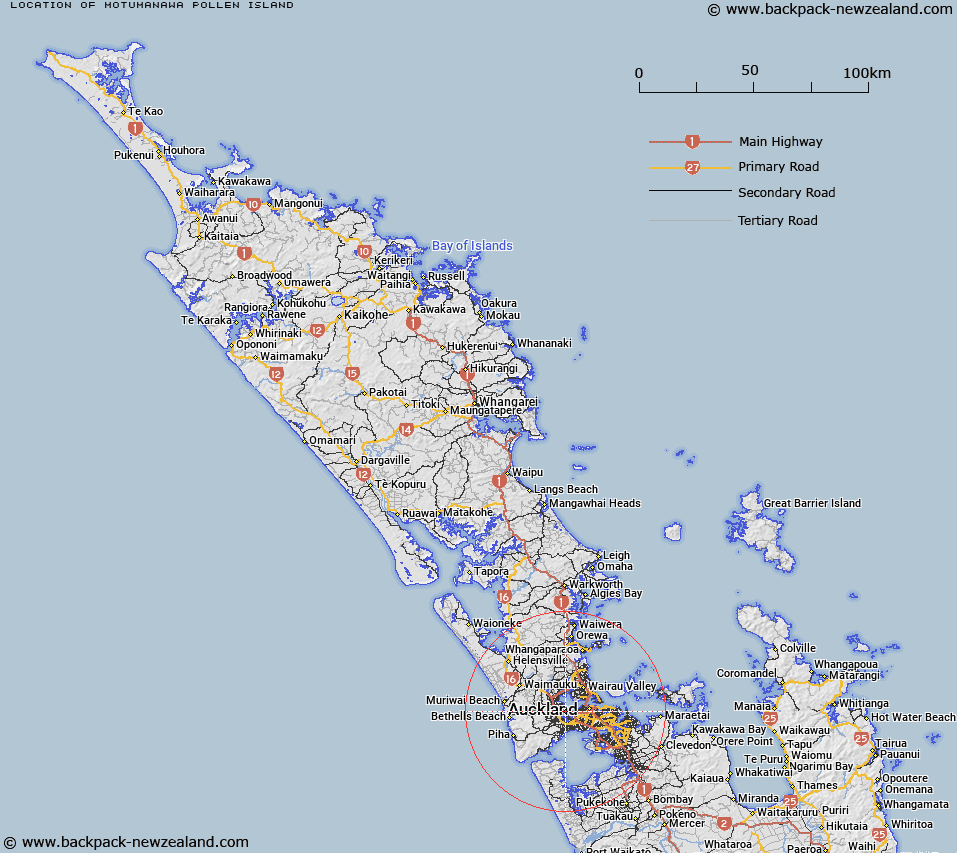
Map showing location of Motumānawa / Pollen Island
LINZ description: A narrow island approximately 1.5km long located within the tidal estuary of the southwestern shores of Waitemata Harbour, adjoining Auckland’s north-western motorway. Feature shown on: NZMS260 R11; NZTopo50-BA31 489190. Replacing Pollen Island (recorded name).
Latitude: -36.862417
Longitude: 174.670028
Northing: 5919088.3
Easting: 1748865.8
Land District: North Auckland
Feat Type: Island
Latitude: -36.862417
Longitude: 174.670028
Northing: 5919088.3
Easting: 1748865.8
Land District: North Auckland
Feat Type: Island

Scroll down to see a more detailed road map and below that a topographical map showing the location of Motumānawa / Pollen Island. The road map has been supplied by openstreetmap and the topographical map of Motumānawa / Pollen Island has been supplied by Land Information New Zealand (LINZ).
Yes you can use the top static map for you school/university project or personal website with a link back. Contact me for any commercial use.
[ A ] [ B ] [ C ] [ D ] [ E ] [ F ] [ G ] [ H ] [ I ] [ J ] [ K ] [ L ] [ M ] [ N ] [ O ] [ P ] [ Q ] [ R ] [ S ] [ T ] [ U ] [ V ] [ W ] [ X ] [ Y ] [ Z ]