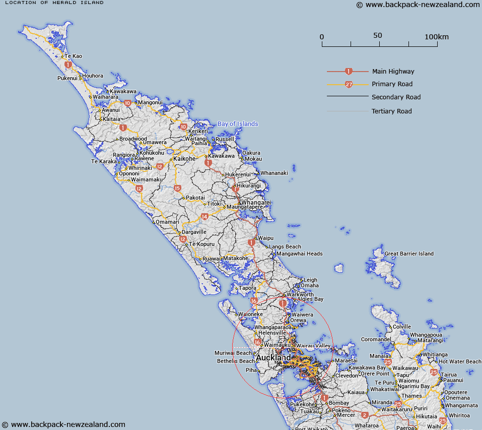
Map showing location of Herald Island


LINZ description: Island in Waitemata Harbour, at the mouth of Lucas Creek. Waitemata Survey District.
Latitude: -36.779594
Longitude: 174.655166
Northing: 5928300
Easting: 1747700
Land District: North Auckland
Feat Type: Island


Scroll down to see a more detailed road map and below that a topographical map showing the location of Herald Island. The road map has been supplied by openstreetmap and the topographical map of Herald Island has been supplied by Land Information New Zealand (LINZ).

Yes you can use the top static map for you school/university project or personal website with a link back. Contact me for any commercial use.

Herald Island Map New Zealand


New Zealand places in our database
[ A ] [ B ] [ C ] [ D ] [ E ] [ F ] [ G ] [ H ] [ I ] [ J ] [ K ] [ L ] [ M ] [ N ] [ O ] [ P ] [ Q ] [ R ] [ S ] [ T ] [ U ] [ V ] [ W ] [ X ] [ Y ] [ Z ]


Closest 20 Islands to Herald Island

Herald Island ( 0km )   Pine Island ( 0km )   Watchman Island / Te K?k?whakaara ( 9.2km )   Watchman Island ( 9.2km )   Pollen Island ( 9.3km )   Motum?nawa / Pollen Island ( 9.3km )   Traherne Island ( 10.77km )   The Tor ( 12.45km )   Bean Rocks ( 16.75km )   Te Rangi-i-Totongia-a-Tamatekapua ( 17.92km )   Ng? Tuaitara-a-Taikehu ( 17.92km )   Rangitoto Island ( 17.92km )   Kotanui Island (Frenchmans Cap) ( 19.98km )   Te Motu-o-Marae-Ariki ( 20.48km )   Crocodile Island ( 20.48km )   Motutara Island ( 21.4km )   Te Motu-a-Hiaroa ( 21.69km )   Puketutu Island ( 21.69km )   Browns Island (Motukorea) ( 22.02km )   Kauwahaia Island ( 22.76km )   Oaia Island ( 22.82km )   Ngarango Otainui Island ( 23km )   Emu Rock ( 23.24km )   Keyhole Rock ( 23.61km )   Ihumoana Island ( 23.8km )   Rock Island ( 24.76km )   Motutapu Island ( 24.87km )   Te Motu-tapu-a-Taikehu ( 24.87km )   Te Motu-tapu-o-Tinirau ( 24.87km )   Lion Rock ( 25.68km )   Three Sisters ( 26.04km )   Motuihe Island ( 26.29km )   Motuihe Island / Te Motu-a-Ihenga ( 26.29km )   Motuihi Island ( 26.29km )   Awash Rock ( 26.31km )   Taitomo Island ( 26.33km )   South Island ( 26.35km )   Nun Rock ( 26.37km )   Woody Island ( 26.48km )   Mahurangi Island ( 26.7km )