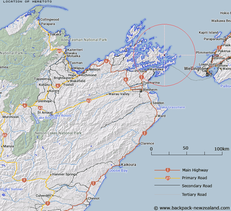
Map showing location of Meretoto
LINZ description: A bay in Queen Charlotte Sound / Tōtaranui between Te Ahitaore and Ekiera approximately 5 km east-southeast of Endeavour Inlet (locality). NZTopo50-BP29 044498.
Latitude: -41.096306
Longitude: 174.243169
Northing: 5449807.4
Easting: 1704401.2
Land District: Marlborough
Feat Type: Bay
Latitude: -41.096306
Longitude: 174.243169
Northing: 5449807.4
Easting: 1704401.2
Land District: Marlborough
Feat Type: Bay

Scroll down to see a more detailed road map and below that a topographical map showing the location of Meretoto. The road map has been supplied by openstreetmap and the topographical map of Meretoto has been supplied by Land Information New Zealand (LINZ).
Yes you can use the top static map for you school/university project or personal website with a link back. Contact me for any commercial use.
[ A ] [ B ] [ C ] [ D ] [ E ] [ F ] [ G ] [ H ] [ I ] [ J ] [ K ] [ L ] [ M ] [ N ] [ O ] [ P ] [ Q ] [ R ] [ S ] [ T ] [ U ] [ V ] [ W ] [ X ] [ Y ] [ Z ]