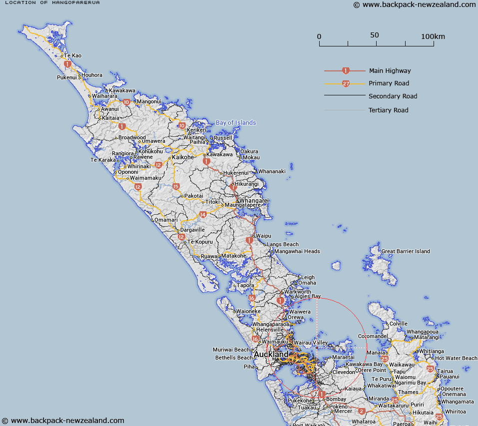
Map showing location of Mangoparerua


LINZ description: Map shows "Mangoparerua Point". Added to Gaz Anomalies List.
Latitude: -36.805135
Longitude: 174.933695
Northing: 5925000
Easting: 1772500
Land District: North Auckland
Feat Type: Point


Scroll down to see a more detailed road map and below that a topographical map showing the location of Mangoparerua. The road map has been supplied by openstreetmap and the topographical map of Mangoparerua has been supplied by Land Information New Zealand (LINZ).

Yes you can use the top static map for you school/university project or personal website with a link back. Contact me for any commercial use.

Mangoparerua Map New Zealand


New Zealand places in our database
[ A ] [ B ] [ C ] [ D ] [ E ] [ F ] [ G ] [ H ] [ I ] [ J ] [ K ] [ L ] [ M ] [ N ] [ O ] [ P ] [ Q ] [ R ] [ S ] [ T ] [ U ] [ V ] [ W ] [ X ] [ Y ] [ Z ]


Closest 20 Points to Mangoparerua

Te Tumurae ( 0.63km )   Cemetery Point ( 0.63km )   Guys Cliff ( 1.61km )   Te Raeokahu ( 1.61km )   Emu Point ( 2.13km )   Otahuhu Point ( 2.28km )   Te Whetumatarau Point ( 3.78km )   Te Rere Point ( 4.23km )   Mahuehue Point ( 4.8km )   Hangaura Point ( 5.05km )   Park Point (Te Roreomaiaea) ( 5.08km )   Musick Point ( 5.5km )   East Head ( 5.5km )   Maunganui Point ( 6.39km )   West Tamaki Head ( 6.99km )   Matenga Point ( 7.15km )   Achilles Point ( 7.57km )   Kennedy Point ( 7.87km )   Te Whau Point ( 8.3km )   Tahuna Torea ( 8.3km )   Sandy Point ( 8.3km )   Hakaimango Point ( 8.34km )   Flax Point ( 8.43km )   Billy Goat Point ( 8.48km )   South Point ( 8.53km )   Little Sandy Point ( 8.78km )   Gower Point ( 8.94km )   Schnapper Point ( 9.94km )   Point England ( 10.31km )   North East Point ( 10.58km )   Bastion Point ( 10.67km )   North Head ( 10.94km )   Takapuna Head ( 11.31km )   Takaparawha Point ( 11.34km )   Thompsons Point ( 12.21km )   Hobson Point ( 12.57km )   Duders Point ( 13.42km )   Point Resolution ( 13.61km )   Maraetai Point ( 13.64km )   Stanley Point ( 14.51km )