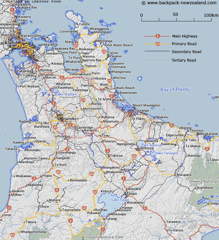
Map showing location of Leesons Pond


LINZ description: Small lake feature lying just east of the Tauhei-Motumaoho Road
Latitude: -37.638902
Longitude: 175.464103
Northing: 5831392.2
Easting: 1817415.4
Land District: South Auckland
Feat Type: Lake


Scroll down to see a more detailed road map and below that a topographical map showing the location of Leesons Pond. The road map has been supplied by openstreetmap and the topographical map of Leesons Pond has been supplied by Land Information New Zealand (LINZ).

Yes you can use the top static map for you school/university project or personal website with a link back. Contact me for any commercial use.

Leesons Pond Map New Zealand


New Zealand places in our database
[ A ] [ B ] [ C ] [ D ] [ E ] [ F ] [ G ] [ H ] [ I ] [ J ] [ K ] [ L ] [ M ] [ N ] [ O ] [ P ] [ Q ] [ R ] [ S ] [ T ] [ U ] [ V ] [ W ] [ X ] [ Y ] [ Z ]


Closest 20 Lakes to Leesons Pond

Lake E ( 18.41km )   Lake A ( 19.03km )   Lake C ( 19.55km )   Lake B ( 19.63km )   Lake D ( 20.82km )   Turtle Lake ( 23.26km )   Lake Areare ( 23.41km )   Lake Pikopiko ( 24.07km )   Lake Rotoroa (Hamilton Lake) ( 24.34km )   Lake Hotoananga ( 24.55km )   Horseshoe Lake ( 26.11km )   Lake Kimihia ( 27.15km )   Lake Rotokauri ( 27.36km )   Lake Te Ko Utu ( 27.78km )   Lake Hakanoa ( 27.81km )   Lake Cameron ( 27.94km )   Lake Puketirini ( 29.72km )   Lake Rotokawau ( 29.88km )   Lake Ohinewai ( 30.37km )   Lake Koromatua ( 30.47km )   Lake Maratoto ( 30.82km )   Lake Okowhao ( 31.12km )   Lake Rotongaru ( 31.28km )   Lake Waahi ( 31.28km )   Wahi Lake ( 31.28km )   Lake Pataka ( 31.88km )   Lake Waikare ( 33.16km )   Lake Mangahia ( 33.86km )   Lake Rotomanuka ( 34.47km )   Lake Karapiro ( 34.88km )   Lake Rotongaro ( 35.4km )   Lake Ruatuna ( 35.51km )   Lake Rotongaroiti ( 36.2km )   Lake Serpentine ( 36.82km )   Lake Ngarotoiti ( 36.94km )   Lake Kopuwera ( 37.39km )   Lake Kopuera ( 37.39km )   Lake Karaka ( 37.39km )   Lake Rangiriri ( 37.39km )   Lake Waiwhata ( 38.2km )