Map showing location of Lake A


LINZ description: Feature shown on: NZMS260 S14
Latitude: -37.691
Longitude: 175.258222
Northing: 5826068.6
Easting: 1799108
Land District: South Auckland
Feat Type: Lake
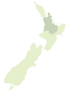

Scroll down to see a more detailed road map and below that a topographical map showing the location of Lake A. The road map has been supplied by openstreetmap and the topographical map of Lake A has been supplied by Land Information New Zealand (LINZ).

Yes you can use the top static map for you school/university project or personal website with a link back. Contact me for any commercial use.
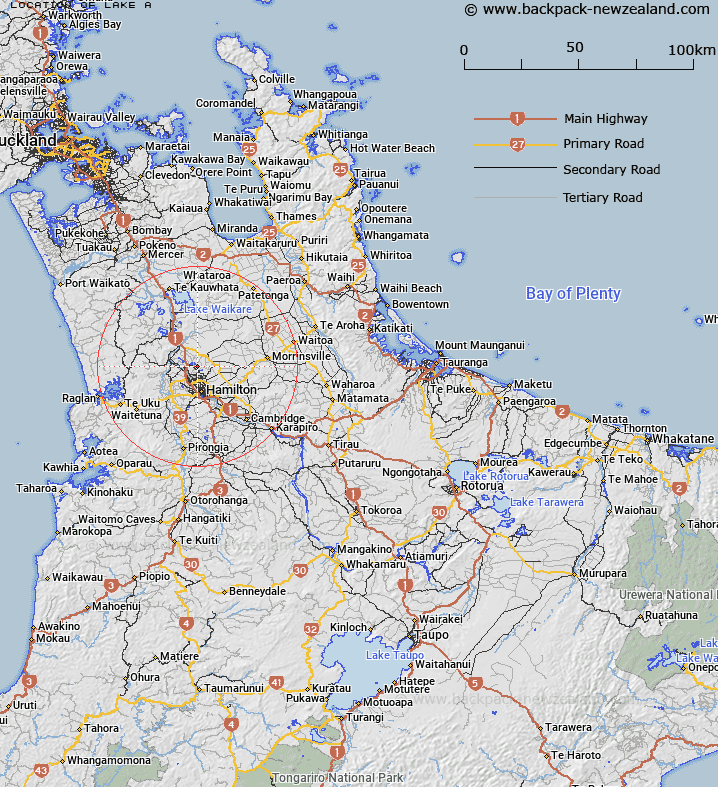
Lake A Map New Zealand


New Zealand places in our database
[ A ] [ B ] [ C ] [ D ] [ E ] [ F ] [ G ] [ H ] [ I ] [ J ] [ K ] [ L ] [ M ] [ N ] [ O ] [ P ] [ Q ] [ R ] [ S ] [ T ] [ U ] [ V ] [ W ] [ X ] [ Y ] [ Z ]


Closest 20 Lakes to Lake A

Lake B ( 1.61km )   Lake E ( 1.7km )   Lake C ( 1.97km )   Lake D ( 2.72km )   Lake Areare ( 5.62km )   Lake Pikopiko ( 6.61km )   Lake Hotoananga ( 7.32km )   Horseshoe Lake ( 9.61km )   Lake Rotokauri ( 9.63km )   Lake Rotoroa (Hamilton Lake) ( 12.06km )   Turtle Lake ( 13.32km )   Lake Koromatua ( 16.52km )   Lake Puketirini ( 17.27km )   Lake Hakanoa ( 17.32km )   Lake Pataka ( 18.01km )   Lake Cameron ( 18.68km )   Lake Waahi ( 18.99km )   Wahi Lake ( 18.99km )   Lake Rotongaru ( 18.99km )   Leesons Pond ( 19.03km )   Lake Kimihia ( 19.3km )   Lake Okowhao ( 21.03km )   Lake Mangahia ( 21.14km )   Lake Maratoto ( 22.02km )   Lake Ohinewai ( 23.14km )   Lake Rotokawau ( 24.11km )   Lake Rotongaro ( 26.21km )   Lake Ruatuna ( 26.44km )   Lake Rotomanuka ( 26.6km )   Lake Mangakaware ( 27.15km )   Lake Rotongaroiti ( 27.16km )   Lake Ngarotoiti ( 28.28km )   Lake Te Ko Utu ( 28.77km )   Lake Waikare ( 29.07km )   Lake Waiwhata ( 29.07km )   Lake Serpentine ( 29.23km )   Lake Ngaroto ( 29.38km )   Lake Te Kapa ( 29.58km )   Lake Whangape ( 30.93km )   Lake Rotopotaka ( 31.14km )