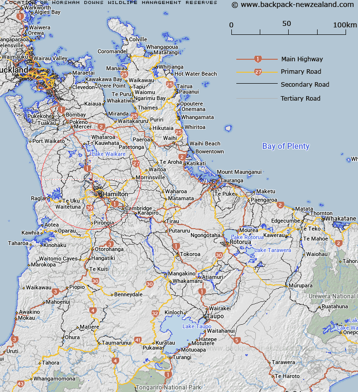
Map showing location of Horsham Downs Wildlife Management Reserves
LINZ description: 84.083 hectares
Latitude: -37.668373
Longitude: 175.200761
Northing: 5828700
Easting: 1794100
Land District: South Auckland
Feat Type: Wildlife Management Area
Latitude: -37.668373
Longitude: 175.200761
Northing: 5828700
Easting: 1794100
Land District: South Auckland
Feat Type: Wildlife Management Area

Scroll down to see a more detailed road map and below that a topographical map showing the location of Horsham Downs Wildlife Management Reserves. The road map has been supplied by openstreetmap and the topographical map of Horsham Downs Wildlife Management Reserves has been supplied by Land Information New Zealand (LINZ).
Yes you can use the top static map for you school/university project or personal website with a link back. Contact me for any commercial use.
[ A ] [ B ] [ C ] [ D ] [ E ] [ F ] [ G ] [ H ] [ I ] [ J ] [ K ] [ L ] [ M ] [ N ] [ O ] [ P ] [ Q ] [ R ] [ S ] [ T ] [ U ] [ V ] [ W ] [ X ] [ Y ] [ Z ]